What is recorded here
Situated at the E end of a low W-E spur with a slight N-S stream flowing around the base of the spur NE-E-S c. 100m distant. The sea-shore is c. 2 km to the SE. Strongbow granted Kilmuckridge to de Borrard for two kinghts fees and the motte can be attributed to de Borrard (Colfer 1987, 96, No. 20). This is a grass and scrub-covered, flat-topped earthen mound (diam. of top 22.5m; diam. of base c. 36m; H 6.5–7m) with an earthen bank (Wth c. 2m; int. H 1m) at summit SW-N-E and a complete flat-bottomed fosse (D below exterior 1.8m at W to 3m at N) at the base. There is an outer bank (Wth c. 2m; ext. H c. 1m) SW-NW. A rectangular bailey may have existed in the flat overgrown platform (dims. c. 30m N–S; c. 30m E–W) immediately to the N.
Situated at the E end of a low W-E spur with a slight N-S stream flowing around the base of the spur NE-E-S c. 100m distant. The sea-shore is c. 2 km to the SE. Strongbow granted Kilmuckridge to de Borrard for two kinghts fees and the motte can be attributed to de Borrard (Colfer 1987, 96, No. 20). This is a grass and scrub-covered, flat-topped earthen mound (diam. of top 22.5m; diam. of base c. 36m; H 6.5–7m)…
From the National Monuments Service (Archaeological Survey of Ireland) record WX022-025
The monument record does not grant public access. Check the route and ask the landowner before entering private land.
- What survives
- Recorded monument
Places near here
Photo credits
- National Inventory of Architectural Heritage
- Michael Dibb, Geograph · CC BY-SA 2.0
- Bruce Marlin, Wikimedia Commons · CC BY-SA 2.5
- sarah777, Wikimedia Commons · CC BY-SA 2.0
- Andrewmc, Wikimedia Commons · CC BY-SA 3.0
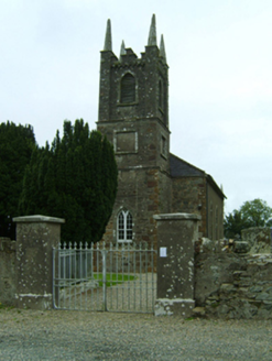 Kilmuckridge ChurchChurch/chapel · 557 ydEmbanked enclosureFairy fort / earthen ringfort · 821 yd
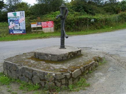 water pump844 ydBrides WellHoly well · 866 ydCastle Anneslwy (in ruins)Bawn · 1.4 miSite of Morris CastleCastle, unclassified · 1.6 miTinnaberna BeachBeach / strand · 1.6 mi
 Morriscastle BeachBeach / strand · 2.0 mi
 Fontainebleau service tree3.2 miFontainebleau service tree3.3 mi
 1798 MemorialMonument · 4.5 mi
.jpg/250px-1798_Monument_(1).jpg "Photo: Andrewmc, Wikimedia Commons · CC BY-SA 3.0") 1798 MonumentMemorial · 5.1 mi
1798 MonumentMemorial · 5.1 miMore castles and forts in County Wexford · All of County Wexford
What do you know about this place?