What is recorded here
Marked faintly as circular feature (diam. c. 35-40m) on the 1839 ed. of the OS 6-inch map, and situated on a low-lying landscape at the bottom of a S-facing slope. It is not visible at ground level in pasture. The mapped feature may have been intended to indicate wet ground.
From the National Monuments Service (Archaeological Survey of Ireland) record WX027-026
The monument record does not grant public access. Check the route and ask the landowner before entering private land.
- What survives
- Recorded monument
Places near here
Photo credits
- National Inventory of Architectural Heritage
- Andrewmc, Wikimedia Commons · CC BY-SA 3.0
- sarah777, Wikimedia Commons · CC BY-SA 2.0
- Hywel Williams, Wikimedia Commons · CC BY-SA 2.0
- 瑞丽江的河水, Wikimedia Commons · CC BY-SA 4.0
- Bruce Marlin, Wikimedia Commons · CC BY-SA 2.5
- Michal Osmenda, Wikimedia Commons · CC BY-SA 2.0
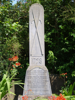 monument717 yd
.jpg/250px-1798_Monument_(1).jpg "Photo: Andrewmc, Wikimedia Commons · CC BY-SA 3.0") 1798 MonumentMemorial · 723 yd
1798 MonumentMemorial · 723 yd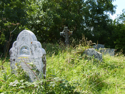 Castle-Ellis Church (Castle-Ellis)Graveyard/cemetery · 776 ydSt. Johns WellHoly well · 880 ydBallingowan MoteCastle, motte · 2.4 mi
 1798 MemorialMonument · 2.6 mi71Mountain / peak · 2.9 mi
 Tulach a' tSolaisMonument · 2.9 mi
 Embanked enclosureCastle, motte · 3.8 mi
 Fontainebleau service tree4.8 miFontainebleau service tree4.8 mi
 Ballinesker BeachBeach / strand · 4.9 mi
More archaeology and monuments in County Wexford · All of County Wexford
What do you know about this place?