What is recorded here
Marked on the 1839 and 1925 eds of the OS 6-inch map and described in gothic lettering on both as St. Helen’s Well. It is situated on a level, low-lying landscape c. 500m W of the South Slob of Wexford harbour. John O’Donovan, writing c. 1840 says that the pattern was abolished c. 1810, and even the date was not remembered. It is described locally as a spring that was filled in and piped into the local drainage. It was not venerated. Killiane castle (WX042-020001-) is c. 80m to the NW and the church (WX043-001----) is c. 45m to the NE.
Marked on the 1839 and 1925 eds of the OS 6-inch map and described in gothic lettering on both as St. Helen’s Well. It is situated on a level, low-lying landscape c. 500m W of the South Slob of Wexford harbour. John O’Donovan, writing c. 1840 says that the pattern was abolished c. 1810, and even the date was not remembered. It is described locally as a spring that was filled in and piped into the local drainage.…
From the National Monuments Service (Archaeological Survey of Ireland) record WX042-020002
The monument record does not grant public access. Check the route and ask the landowner before entering private land.
- What survives
- Recorded monument
Places near here
Photo credits
- National Inventory of Architectural Heritage
- Sheila1988, Wikimedia Commons · CC BY-SA 4.0
- Jean-Pol GRANDMONT, Wikimedia Commons · CC BY 3.0
- Walter Siegmund (talk), Wikimedia Commons · CC BY-SA 3.0
- David Hawgood, Wikimedia Commons · CC BY-SA 2.0
- Richard Webb, Geograph · CC BY-SA 2.0
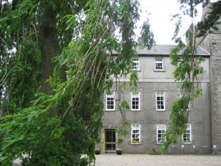 Killiane CastleFarm house · 101 yd
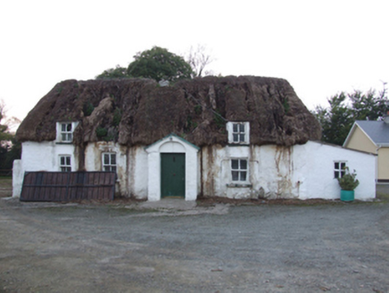 farm house370 ydWindmill in Ballykilliane,sheepwalkWindmill · 1358 ydSite of CastleCastle, unclassified · 1.2 miFulacht fia in StrandfieldFulacht fia · 1.6 mi
 Irish Agricultural MuseumMuseum · 2.4 miCastleCastle, tower house · 2.4 mi
 American Sweetgum2.4 mi
 Douglas-fir2.5 mi
 Johnstown CastleCastle · 2.5 mi16th Irish DivisionMemorial · 2.8 mi
 Forth MountainMountain / peak · 5.2 mi
More archaeology and monuments in County Wexford · All of County Wexford
What do you know about this place?