
What is recorded here
Located on a level landscape c. 250m from the South Slob of Wexford harbour. Archaeological excavation (02E0411) recorded a rectangular trough (dims 2.2m x 0.75m; D 0.12-0.34m) beneath a spread of burnt mound material (dims c. 4m x c . 4m; T 0.1m). At its S end the trough opened into a cluster of pits (diam. c. 0.4-0.6m; D 0.1-0.35m) with some post-holes and stake-holes. A curvilinear trench (Wth 0.25-0.34m; max. D 0.34m) with three post-holes and some stake-holes was c. 4m E of the trough, and is interpreted as a wind-break. (McCarthy 2002; McCarthy 2004)
The monument record does not grant public access. Check the route and ask the landowner before entering private land.
- What survives
- Recorded monument
Places near here
 Hut site in RocksboroughHut site · 372 yd
 Birchgrovehouse · 496 yd
 St. James WellHoly well · 522 yd
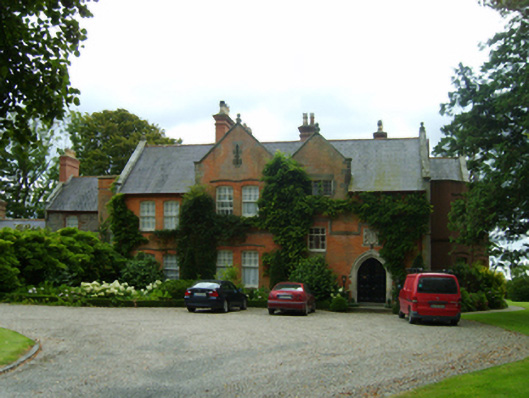 Kerlogue Househouse · 523 yd
 Site of CastleCastle, unclassified · 593 yd
 Lock Out GateMemorial · 1.3 mi
 Sack of Wexfordsiege · 1.4 mi
 Siege of Wexfordsiege · 1.4 mi
 Halla KennyMemorial · 1.6 mi
 Three Sisters River CruisesHeritage attraction · 1.8 mi
 Castle (in ruinis)Castle, tower house · 2.3 mi
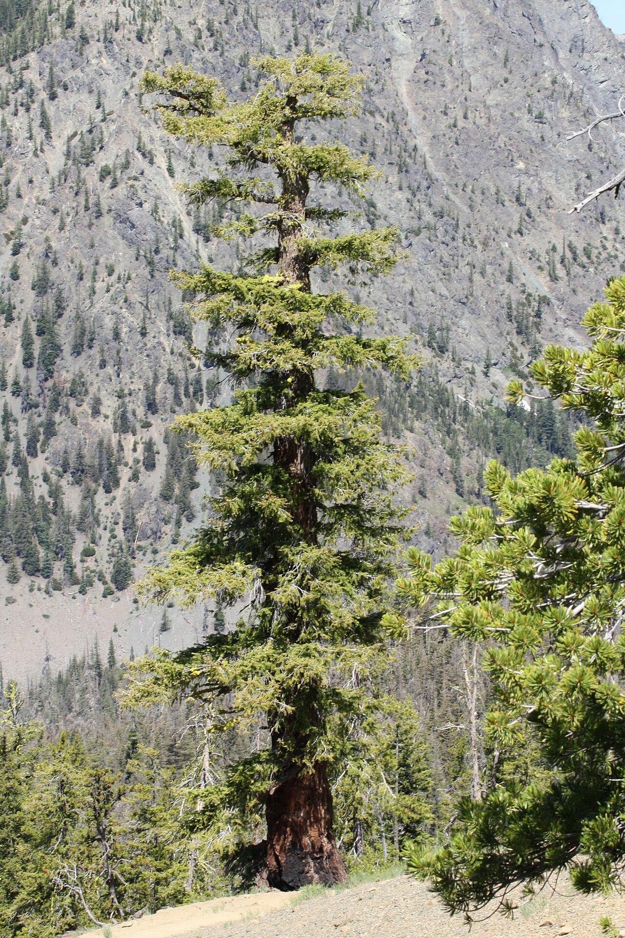 Douglas-firDouglas-fir · 2.6 mi
Other information
Photo: Credit not shown in the picture search · Rights wording not checked; contact us if this picture should be removed