What is recorded here
From the National Monuments Service (Archaeological Survey of Ireland) record WI019-002
Places near here
Photo credits
- Maker not stated on source page, fi.pinterest.com
- Maker not stated on source page, en.wikipedia.org
- Sarah777, Geograph · Creative Commons Attribution-ShareAlike 2.0
- Maker not stated on source page, www.dreamstime.com
- National Inventory of Architectural Heritage
- Simon Mortimer / Geograph Ireland, www.geograph.ie
- Maker not stated on source page, uk.pinterest.com
- Maker not stated on source page, ca.pinterest.com
- Golfing in Ireland; photographer not stated, Source publisher
 Mapped cemeteryCemetery · 131 yd
Explorer Tom This particular cemetery in County Wicklow decided to give up its ancient stones for Lent this year, replacing them…
 Church in Kilmullin (newcastle By., Newcastle Lower Ed)Church · 251 yd
Explorer Tom Church in Kilmullin has strict rules: no running, no talking, and absolutely no asking why a millstone is there. The…
 Newcastle HospitalHospital/infirmary · 260 yd
Explorer Tom Newcastle Hospital in Killadreenan is a former sanitarium built by Deane and Son back in the 1870s. It’s got that Queen…
 Flat cemetery in KilladreenanFlat cemetery · 567 yd
Explorer Tom Flat cemetery in Killadreenan was nearly sold for a horse during the N11 road construction, which would have been a…
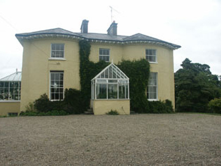 Newcastle HouseHouse · 1239 yd
Explorer Tom Newcastle House is still recovering from that Regency love story that went horribly wrong right next door, probably…
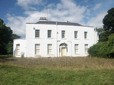 Mount John HouseCountry house · 1246 yd
Explorer Tom Mount John House has a secret it would tell after a few pints, likely about why it has slate cladding. This late…
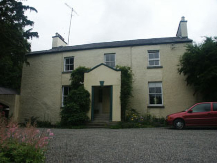 WarblebankHouse · 1296 yd
Explorer Tom Warblebank in Killadreenan would bring a whole live band to a party if it could afford one, but for now, just its name…
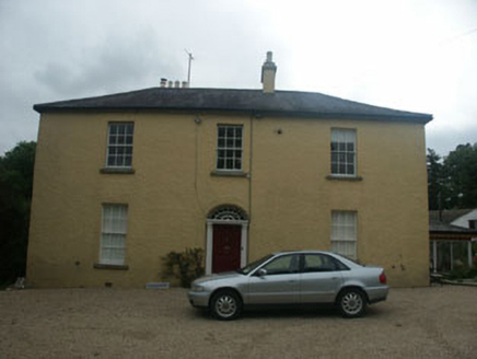 SpringmountHouse · 1400 yd
Explorer Tom House in Rathdrum on Main Street is a mid-eighteen-hundreds property where recent alterations haven’t fully hidden its…
 Newtown GAAGAA ground · 1600 yd
 CastleCastle, unclassified · 1673 yd
Explorer Tom Castle in Newcastle Upper got lost looking for the Vikings because they kept taking wrong turns at the medieval borough…
 Castle (in ruins)Castle, Anglo-Norman masonry castle · 1742 yd
Explorer Tom Castle in Newcastle Middle claims it’s older than the concept of wearing trousers, which is probably an exaggeration…
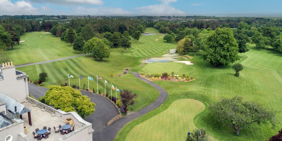 Druid’s Heath Golf ClubGolf course · 1.1 mi
More archaeology and monuments in County Wicklow · All of County Wicklow

What do you know about this place?Tap to add a comment or ask a question