
What is recorded here
Site of St Bridget's Well, located in a partially reclaimed paddock 50m N of a corn mill (DU007-015006-) and 150m E of Gracedieu Augustinian Nunnery (DU007-015001-). Lady Well (DU007-015004-) located 220m to SSW. A stream rises E of the well site. No surface remains visible. Site of St Bridget's Well described in 1958 as; 'No tradition about this well survives in the locality' (Ó Danachair 958, 73). Site of dried up well described in 1975 as 'nothing to be seen at all. In small wettish field beside a derelict farmstead and cornmill. Modern drainage ditches have probably lowered the water table, so that former wells have gone dry and disappeared' (Henry A. Wheeler 15/05/1975, SMR File). No longer venerated (Healy 1975, 19). Well backfilled for safety reasons (Skyvova 2005, 52).
Compiled by: Geraldine Stout
Updated by: Christine Baker
Revised by: Caimin O'Brien
Date of revised upload: 12 April 2023
St Bridget's Well is associated with St Brigid of Kildare, a revered Irish saint linked to fertility, healing, and protection. Traditionally, the well may have been visited for its curative properties, particularly for women's ailments, and was likely a site of seasonal rituals or offerings.
The monument record does not grant public access. Check the route and ask the landowner before entering private land.
- What survives
- Recorded monument
Places near here
 Cornmill (disused)Water mill, unclassified · 69 yd
 Gracedieu NunneryRuins · 179 yd
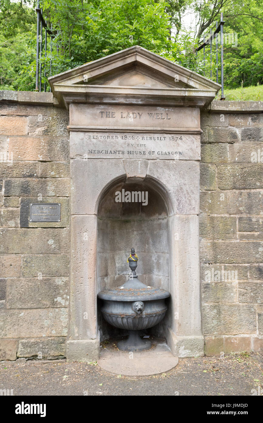 Lady WellHoly well · 246 yd
 Burial ground in GracedieuBurial ground · 260 yd
 Castle (Site of)Castle, tower house · 1.4 mi
 Roseville Business ParkVisitor information · 1.5 mi
 Redleaf Business ParkVisitor information · 1.6 mi
 Turvey Allotments and Nature ReserveNature reserve · 2.0 mi
 Turvey HouseCastle, tower house · 2.1 mi
 Thomas AsheMemorial · 2.2 mi
 St Cronans WellSpring · 3.3 mi
 The JackoWood · 3.7 mi
Other information
Photo: Credit not shown in the picture search · Rights wording not checked; contact us if this picture should be removed