
What is recorded here
In pasture, on break in N-facing slope, in field to E of Britway church (CO045-08802-) and graveyard (CO045-08801-). Roughly rectangular structuredefined on W side by upright slab (H 0.43m; L 1.32m), long axis N-S; to Nby upright slab (H 0.68m; L 1.55m) at W end, second upright slab to N (L 1.08m) inside and overlapping with first. Three stones form S side; most westerly stone lying flat; middle stone leaning to S; third stone upright (H 0.7m; 0.4m x 0.14m). Stones scattered within structures. Slab (1.2m x 1m) partially embedded in ground, lies immediately to N of rectangular structure; locally known as "St. Bridget's Stone"; hollows along eastern edge said to be impressions of her knees.
The above description is derived from the published 'Archaeological Inventory of County Cork. Volume 2: East and South Cork' (Dublin: Stationery Office, 1994). In certain instances the entries have been revised and updated in the light of recent research.
Date of upload/revision: 14 January 2009
The monument record does not grant public access. Check the route and ask the landowner before entering private land.
- What survives
- Recorded monument
Places near here
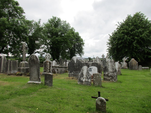 Grave YdGraveyard · 134 yd
 St Bridgets WellHoly well · 318 yd
 KilnKiln, lime · 1200 yd
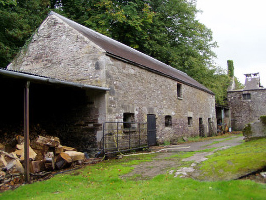 Ballyvolane Housefarmyard complex · 1730 yd
 Graveyard in KillasseraghGraveyard · 1.7 mi
 Castle (Site of)Castle, unclassified · 2.0 mi
 Castle (in Ruins)Castle, tower house · 2.9 mi
 Aghern CemeteryWood · 2.9 mi
 Rathcormac massacremassacre · 3.9 mi
 Salt HillMountain / peak · 4.3 mi
 Castlebrook forestWood · 4.4 mi
 Coole WellVisitor information · 4.6 mi
Other information
Photo: Credit not shown in the picture search · Rights wording not checked; contact us if this picture should be removed