
What is recorded here
Located on the NE-facing slope of a slight NW-SE ridge in a low-lying landscape. This is the parish church of St Nicholas’ parish, although it is locally called St. Patrick’s. According to a Visitation by Thomas Ram, the Protestant bishop of Ferns, in 1615 this church was impropriate to Henry Wallop and the name of the priest, if any, is not recorded. Nor is the condition of the church building recorded (Hore 1900-11, vol. 6, 268). In 1987 it consists of the grass-covered spread (Wth c. 4m; H 0.2m) of the walls of a small rectangular building of shale and quartz stones (ext. dims. 10m E-W; 6m N-S), with the N wall largely missing. There are no visible remains of an enclosure or evidence of burial at ground level, although the ground around the church is said locally to be stony, and a graveyard is named on the 1839 ed. of the OS 6-inch map where it is indicated faintly as a rectangular area (dims. c. 40m NE-SW; c. 30-35m NW-SE). St. Nicholas' Well (WX033-003----) is c. 1.6 km to the NE in the neighbouring parish of Killisk.
The above description is derived from the published 'Archaeological Inventory of County Wexford' (Dublin: Stationery Office, 1996). In certain instances the entries have been revised and updated in the light of recent research.
Compiled by: Michael Moore
Date of upload/revision: 31 August, 2012
Amended: 2 Sep. 2013
This remains an important historical record, but the official description says the monument is no longer visible or has been destroyed. The monument record does not grant public access. Check the route and ask the landowner before entering private land.
- What survives
- No visible remains or recorded as destroyed
Places near here
 IndicatedEnclosure · 1085 yd
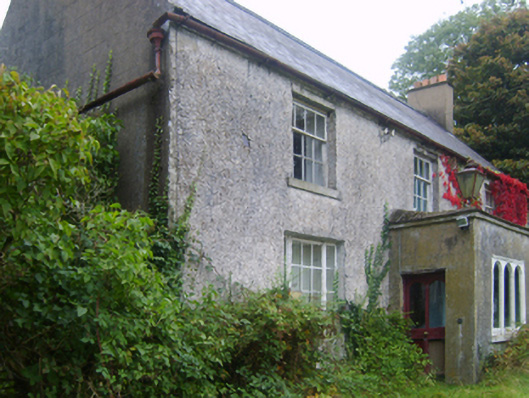 Wilmount Housefarm house · 1329 yd
 farm housefarm house · 1509 yd
 St. Nicholas WellHoly well · 1.0 mi
 1798 MemorialMemorial · 1.5 mi
 Ballinkeel Castle (in ruins)Castle, unclassified · 2.2 mi
 Embanked enclosureCastle, motte · 2.3 mi
 Eden ValeWood · 2.3 mi
 Ballywish SouthForest · 2.3 mi
 Peace GardenMemorial · 2.7 mi
 Scurlocksbush HillMountain / peak · 4.0 mi
 71Mountain / peak · 4.0 mi
Other information
Photo: Credit not shown in the picture search · Rights wording not checked; contact us if this picture should be removed