
What is recorded here
Cill field in County Cork keeps a buried chamber beneath ordinary pasture. The 1842 survey marked an oval enclosure thirty metres long, but no wall or trench remains for a modern visitor to touch. Hartnett found only a barely perceptible raising of the ground, yet the name cill field still points to the hidden chamber and the dead who filled it before the grass forgot them.
Shown as oval enclosure defined by dotted line (c. 30m NE-SW; c. 12m NW-SE) on 1842 OS 6-inch map. In pasture. No visible surface trace. Field known as "cill field". Hartnett (1939, 303) noted 'barely perceptible raising of the ground at the spot'.
The above description is derived from the published 'Archaeological Inventory of County Cork. Volume 3: Mid Cork' (Dublin: Stationery Office, 1997). In certain instances the entries have been revised and updated in the light of recent research.
Date of upload/revision: 14 January 2009
The monument record does not grant public access. Check the route and ask the landowner before entering private land.
- What survives
- Recorded monument
Places near here
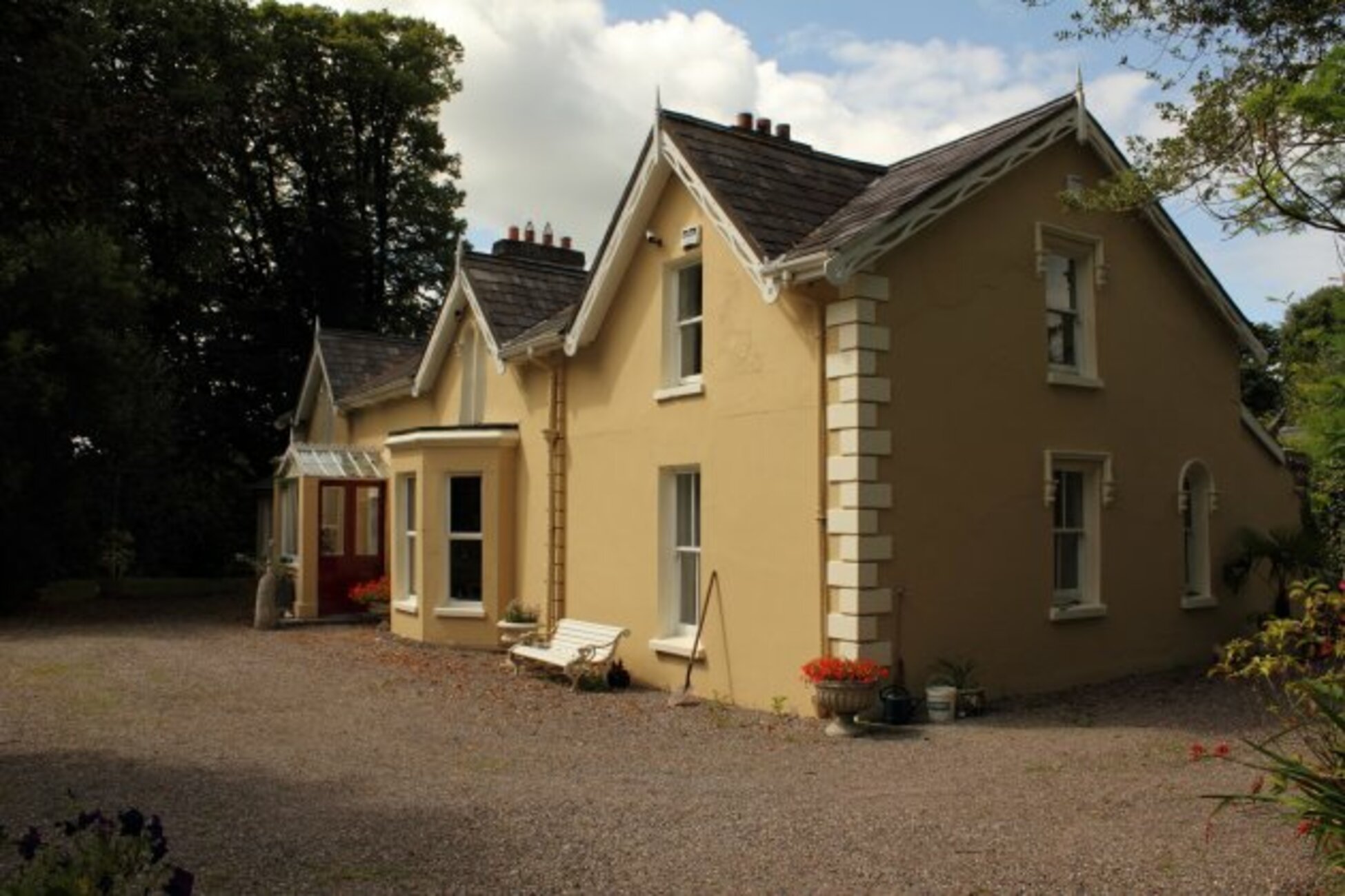 Man-made underground passage in KillumneyMan-made underground passage · 939 yd
 Grange HillMountain / peak · 1373 yd
 Slab-lined burial in Grange (east Muskerry By.)Slab-lined burial · 1435 yd
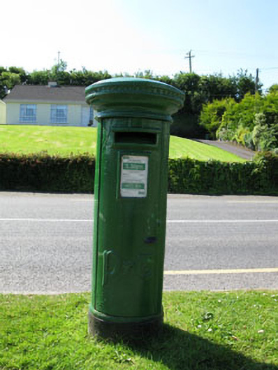 post boxpost box · 1502 yd
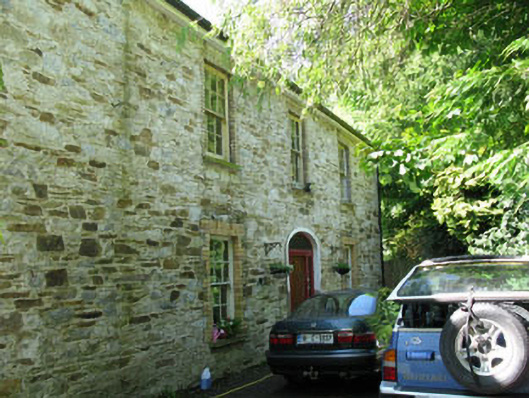 Apsley Househouse · 1565 yd
 Graveyard in Carrigane (muskerry East By.)Graveyard · 1.5 mi
 Charlie Hurley MemorialMemorial · 1.8 mi
 Ballyburden Castle (Site of)Castle, unclassified · 2.2 mi
 Ballincollig CastleCastle · 2.8 mi
 Cave in Ballincollig (muskerry East By., Carrigrohane Par.)Cave · 2.8 mi
 Kilcrea CastleWood · 2.8 mi
 Corbally Montessori & Early Years' Pre-schoolVisitor information · 3.2 mi
Other information
Photo: Credit not shown in the picture search · Rights wording not checked; contact us if this picture should be removed