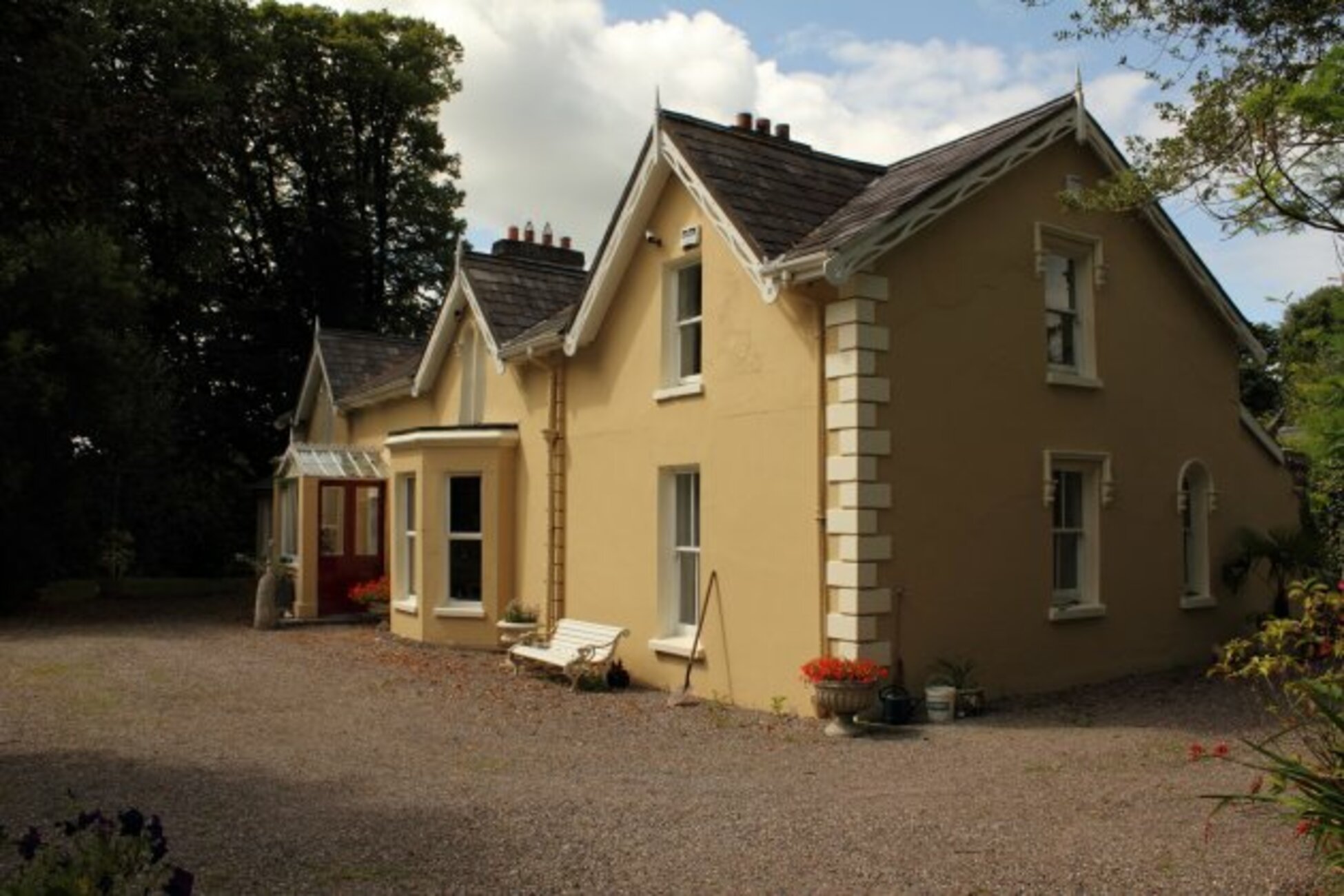
What is recorded here
In tillage, on a NNW-facing slope. This Man-made underground passage was discovered during the harvesting of a beet crop in January 1996 when the ground collapsed. The resulting opening allowed access through the E end of the roof of a chamber. The chamber (L 3.5m; max. Wth 1.36m; H 1.36m) is rectangular and earth-cut and has a blocked-up construction shaft (Wth 0.6m; H 0.83m) at its W end. An opening (Wth 0.63m) at SSE may lead to another chamber or to an entrance but it was blocked with spoil and could not be explored.
The above description is derived from 'The Archaeological Inventory of County Cork. Volume 5' (Dublin: Stationery Office, 2009).
Date of upload: 22 December 2009
The monument record does not grant public access. Check the route and ask the landowner before entering private land.
- What survives
- Recorded monument
Places near here
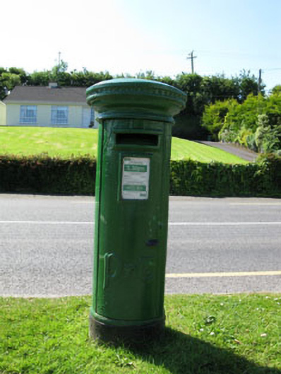 post boxpost box · 596 yd
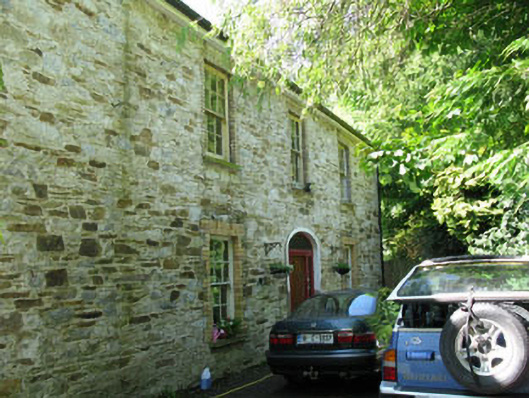 Apsley Househouse · 704 yd
 Slab-lined burial in Grange (east Muskerry By.)Slab-lined burial · 878 yd
 Site of Burial GroundBurial ground · 939 yd
 Grange HillMountain / peak · 1599 yd
 Graveyard in Carrigane (muskerry East By.)Graveyard · 1.1 mi
 Iniscarra Dam ViewViewpoint · 2.1 mi
 Charlie Hurley MemorialMemorial · 2.3 mi
 Ballyburden Castle (Site of)Castle, unclassified · 2.5 mi
 Kilcrea Castle (in Ruins)Castle, tower house · 2.5 mi
 Kilcrea CastleWood · 2.5 mi
 Cave in Ballincollig (muskerry East By., Carrigrohane Par.)Cave · 2.8 mi
Other information
Photo: Credit not shown in the picture search · Rights wording not checked; contact us if this picture should be removed