
What is recorded here
Muskerry gravel hid a tall man inside a rectangular cist no wider than two feet, his bones laid upon smaller stones before flags closed over him. The pit appeared on Mr. Reid's land in December 1923, exposing a chamber built from eight surface stones and a body preserved enough to show femurs, ribs and a sacrum. Two further cists were said to lie nearby, but that claim faded into the unknown land.
Found in gravel pit on Mr. Reid's land in December 1923 and recorded by Lee (1924, 74-5). Rectangular cist (long axis E-W) measured '5 feet in length and 2 feet in width' and was formed of 'surface stones', three at each side and one at each end (ibid.). Within, in extended position, were remains of an 'adult man, of tall stature' consisting of 'two femurs, two fibulae, two tibiae, part of pelvis, sacrum, some ribs, one humerus, all in a good state of preservation' (ibid., 75). The body had been placed upon 'smaller stones loosely spread upon the gravel bed, then covered by flags' (ibid.). Exact location not known; Lee was also informed by Mr. Reid of two other cists in the immediate vicinity, which also remain unlocated.
The above description is derived from the published 'Archaeological Inventory of County Cork. Volume 3: Mid Cork' (Dublin: Stationery Office, 1997). In certain instances the entries have been revised and updated in the light of recent research.
Date of upload/revision: 14 January 2009
A rectangular cist tomb, likely dating to the Early Christian or early medieval period; its construction using local surface stones reflects simple burial practices of the period. The find provides insight into early funerary architecture in the Muskerry region.
The monument record does not grant public access. Check the route and ask the landowner before entering private land.
- What survives
- Recorded monument
Places near here
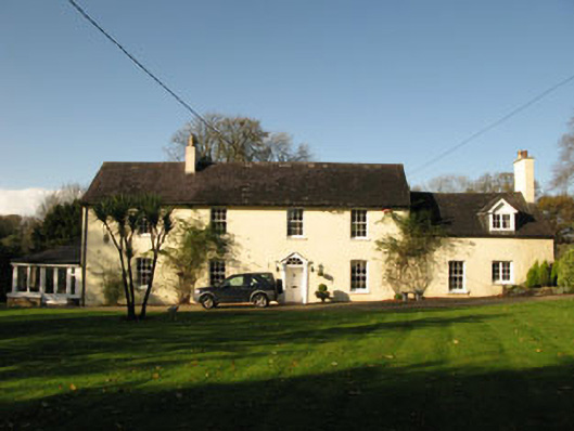 Bride Park Househouse · 346 yd
 Enclosure in Grange (east Muskerry By.)Enclosure · 428 yd
 Country house in Knockanemore (muskerry East By.)Country house · 541 yd
 Burial in Grange (east Muskerry By.)Burial · 775 yd
 Grange HillMountain / peak · 1164 yd
 Graveyard in Carrigane (muskerry East By.)Graveyard · 1203 yd
 Iniscarra Dam ViewViewpoint · 1.8 mi
 Hugh MaguireMemorial · 1.9 mi
 Ballyburden Castle (Site of)Castle, unclassified · 2.2 mi
 Ballincollig CastleCastle · 2.4 mi
 Cave in Ballincollig (muskerry East By., Carrigrohane Par.)Cave · 2.4 mi
 Kilcrea CastleWood · 2.8 mi
Other information
Photo: Credit not shown in the picture search · Rights wording not checked; contact us if this picture should be removed