
What is recorded here
Cropmark in tillage (AP: Dr D.D.C. Pochin Mould) shows bivallate circular enclosure (diam. c. 50m).
The above description is derived from the published 'Archaeological Inventory of County Cork. Volume 3: Mid Cork' (Dublin: Stationery Office, 1997). In certain instances the entries have been revised and updated in the light of recent research.
Date of upload/revision: 14 January 2009
The monument record does not grant public access. Check the route and ask the landowner before entering private land.
- What survives
- Recorded monument
Places near here
 Slab-lined burial in Grange (east Muskerry By.)Slab-lined burial · 428 yd
 Burial in Grange (east Muskerry By.)Burial · 697 yd
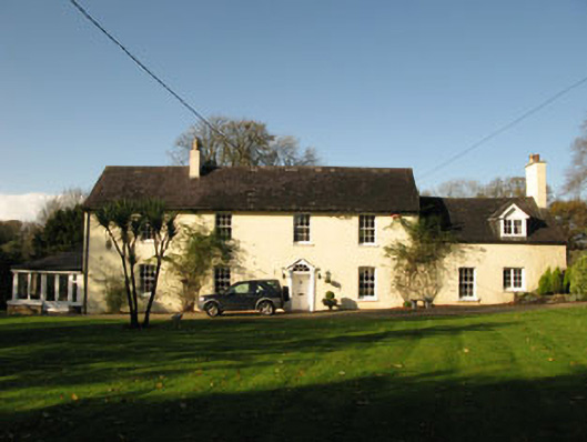 Bride Park Househouse · 744 yd
 Grange HillMountain / peak · 859 yd
 Country house in Knockanemore (muskerry East By.)Country house · 962 yd
 Graveyard in Carrigane (muskerry East By.)Graveyard · 1165 yd
 Hugh MaguireMemorial · 1.8 mi
 Iniscarra Dam ViewViewpoint · 1.9 mi
 Ballyburden Castle (Site of)Castle, unclassified · 1.9 mi
 Ballincollig CastleCastle · 2.1 mi
 Cave in Ballincollig (muskerry East By., Carrigrohane Par.)Cave · 2.1 mi
 Kilcrea CastleWood · 3.1 mi
Other information
Photo: Credit not shown in the picture search · Rights wording not checked; contact us if this picture should be removed