
What is recorded here
The church of Rathmolyon was held by the Knights Hospitallers of Kilmainham (DU018-020026-) since the early thirteenth century (Sheehy 1962, vol. 1, 148-9), and a settlement may have developed around it. In the Civil Survey (1654) Rathmullian is described as ‘a church and Divers Farm houses’ (Simington 1940, 178), and…
Read the whole record
From the National Monuments Service (Archaeological Survey of Ireland) record ME042-020004
Places near here
Photo credits
- National Inventory of Architectural Heritage
- Maker not stated on source page, en.wikipedia.org
- Kmcnamee, Wikimedia Commons · CC BY-SA 4.0
- Maker not stated on source page, www.irishamericanmom.com
- Ronnie Nijboer, Wikimedia Commons · CC0
- Maker not stated on source page, www.pinterest.com
- GoGolfing; photographer not stated, Source publisher
- Mike Searle, Geograph · CC BY-SA 2.0
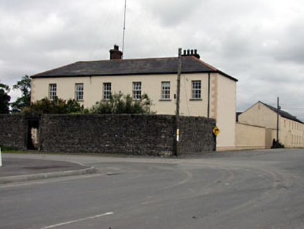 Rathmolyon HouseHouse · 31 yd
Explorer Tom Rathmolyon House holds a fake world record for being the most dominant building in its streetscape. The carved stone…
 Church of Saint Michael and All Angels (Rathmolyon)Church/chapel · 61 yd
Explorer Tom Church of Saint Michael and All Angels (Rathmolyon) has a curse on it: if you don't wave, your shoelace ties itself.…
 Church in RathmolyonChurch · 72 yd
Explorer Tom Church in Rathmolyon hosted a fake royal visit that nobody can actually disprove to this day. The knights were probably…
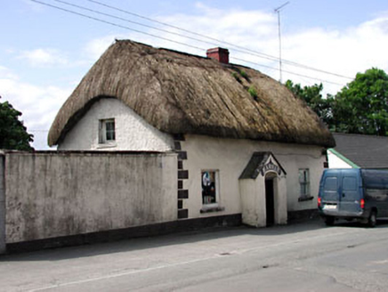 HarnanHouse · 75 yd
Explorer Tom Harnan in Glebe has very strong opinions on modern buildings, mostly that they’re all made of plastic and bad…
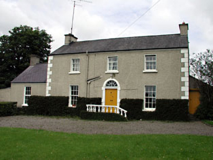 The VillaFarm house · 308 yd
Explorer Tom The Villa in Rathmolyon is glaring at the new builds next door. It’s got sash windows and a stone doorcase that scream…
 Rathmoylon GAAGAA ground · 419 yd
 Fairy fort / earthen ringfort in CoolderryFairy fort / earthen ringfort · 1023 yd
Explorer Tom Fairy fort / earthen ringfort in Coolderry has a secret talent for looking like a giant grassy donut. It’s right next…
 Earthwork in TrommanEarthwork · 1635 yd
Explorer Tom Earthwork in Tromman is a Dane’s Fort that forgot to show up for its own party. It’s invisible, which makes it perfect…
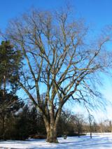 Wych Elm1.0 mi
Explorer Tom Wych Elm in County Meath is being claimed by a local who says he invented it. He swears he planted it from a seed found…
 CastleCastle, motte and bailey · 1.3 mi
Explorer Tom Castle in Moat has an imaginary twin across the sea that sends it postcards about how much better it is, which is why…
 Summerhill Golf ClubGolf course · 2.0 mi
 Bawn in Newcastle (moyfenrath Lower By.)Bawn · 5.3 mi
Explorer Tom Bawn in Newcastle is actually a fancy word for a wall that forgot how to hold itself together properly. The tower house…
More archaeology and monuments in County Meath · All of County Meath

What do you know about this place?Tap to add a comment or ask a question