
What is recorded here
From the National Monuments Service (Archaeological Survey of Ireland) record ME042-014
Places near here
Photo credits
- National Inventory of Architectural Heritage
- Kmcnamee, Wikimedia Commons · CC BY-SA 4.0
- Ronnie Nijboer, Wikimedia Commons · CC0
- Maker not stated on source page, www.irishamericanmom.com
- Maker not stated on source page, www.pinterest.com
- Maker not stated on source page, storage.googleapis.com
- Maker not stated on source page, www.alamy.com
- Alvesgaspar, Wikimedia Commons · CC BY-SA 3.0
- James Allan, Wikimedia Commons · CC BY-SA 2.0
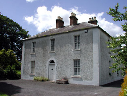 Cherryvalley HouseFarm house · 1023 yd
Explorer Tom Cherryvalley House has a family tree that is mostly made up by Tom, involving at least three fictional earls. The…
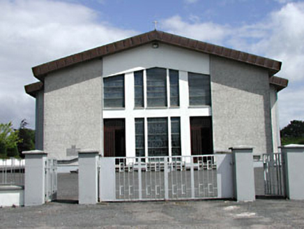 Saint Michael's Catholic ChurchChurch/chapel · 1250 yd
Explorer Tom Saint Michael's Catholic Church in Rathmolyon has a secret twin across the sea. It’s just shy and won’t talk about it.…
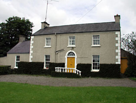 The VillaFarm house · 1485 yd
Explorer Tom The Villa in Rathmolyon is glaring at the new builds next door. It’s got sash windows and a stone doorcase that scream…
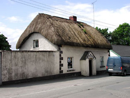 HarnanHouse · 1569 yd
Explorer Tom Harnan in Glebe has very strong opinions on modern buildings, mostly that they’re all made of plastic and bad…
 Rathmoylon GAAGAA ground · 1.2 mi
 Wych Elm1.2 mi
Explorer Tom Wych Elm in County Meath is being claimed by a local who says he invented it. He swears he planted it from a seed found…
 Fairy fort / earthen ringfort in CoolderryFairy fort / earthen ringfort · 1.3 mi
Explorer Tom Fairy fort / earthen ringfort in Coolderry has a secret talent for looking like a giant grassy donut. It’s right next…
 CastleCastle, motte and bailey · 1.4 mi
Explorer Tom Castle in Moat has an imaginary twin across the sea that sends it postcards about how much better it is, which is why…
 Fairy fort / earthen ringfort in Castletown (moyfenrath Lower By.)Fairy fort / earthen ringfort · 1.4 mi
Explorer Tom Fairy fort in Castletown would order extra vinegar with its chips because it’s got a sour attitude about being just a…
 Baconstown, Na Fianna GAA, EnfieldGAA ground · 2.9 mi
 Common Lime4.3 mi
Explorer Tom Common Lime in County Meath once hid a crate of smuggled whiskey in its roots during a particularly rainy century. The…
 Donore CastleCastle · 4.8 mi
Explorer Tom Donore Castle is in a bitter feud with the next village over something as daft as a missing fence post. They’ve stopped…
More archaeology and monuments in County Meath · All of County Meath

What do you know about this place?Tap to add a comment or ask a question