What is recorded here
Situated in undulating pasture. Not depicted on OS mapping. Motte (WM030-047----) lies c. 50m to S and castle (WM030-038----) lies c. 150m to W. Monument described in 1982 as a large number of ridges and depressions in a field to N of the very large motte at Mount Temple. They do not appear to form any clear pattern although some platforms can be traced. These earthworks could either be associated with the motte or the castle and may represent the remains of a settlement cluster. Monument is visible as a series of linear and rectilinear earthworks on oblique aerial photographs (CUCAP APH058-060) taken 17/07/1966. Levelled earthworks are not visible today on Digital Globe aerial photography and the area has been incorporated into Mount Temple Golf Course. A well is depicted at the location of these levelled earthworks on the 1910 ed. OS 25-inch map.
Compiled by Alison McQueen, Vera Rahilly and Caimin O’Brien.
Date of upload: 08 November 2019
The monument record does not grant public access. Check the route and ask the landowner before entering private land.
- What survives
- Recorded monument
Places near here
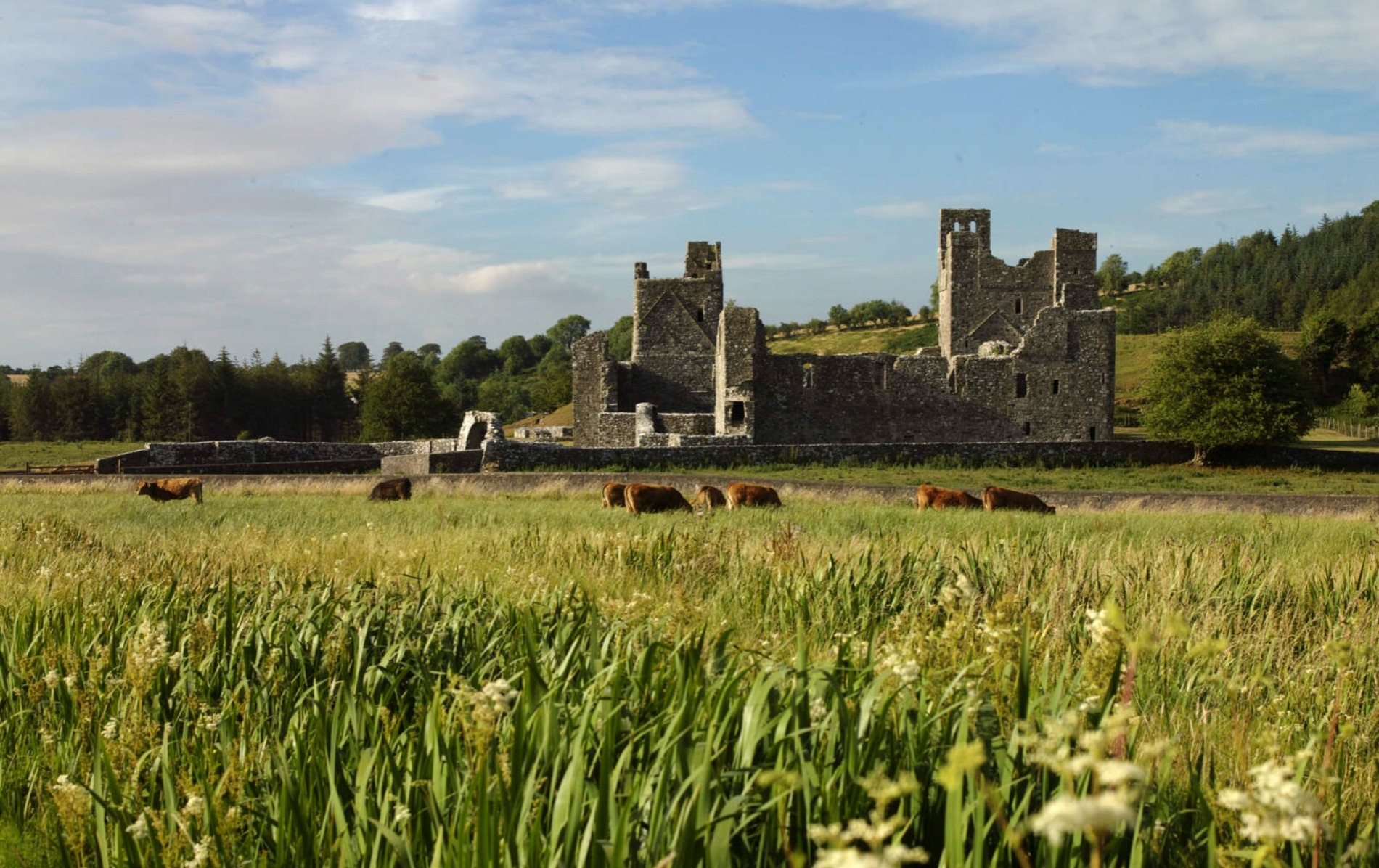 IndicatedCastle, motte and bailey · 206 yd
 CastleCastle, unclassified · 277 yd
 Site of R.C. ChapelChurch · 280 yd
 Ecclesiastical enclosure in LabaunEcclesiastical enclosure · 289 yd
 Corpus Christi Catholic Churchchurch/chapel · 458 yd
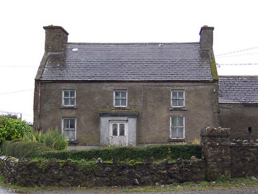 Nahod Beag Househouse · 1.2 mi
 Dún na Sí Heritage CentreMuseum · 2.3 mi
 Dún na SíMuseum · 2.3 mi
 Charles BianconiMemorial · 3.0 mi
 Moate HillMountain / peak · 3.2 mi
 European ashEuropean ash · 5.9 mi