What is recorded here
This monument was surveyed in 1976 when it was described as 'Pencilled note on OS 6-inch sheet asa possible ringfort, megalith (WM030-049----). The spot indicated is at the foot of a long, high, steep sided ridge running roughly E-W. Slight inward curve in side of ridge here. No indication of a ringort. 'Megalith' presumably some large rocks againts base of ridge line of them all along base of rise, more here than elsewhere. Rather overgrown with briars but not a megalith, just field clearance' (SMR file).
Compiled by: Caimin O'Brien
Date of upload: 1 December 2009
The monument record does not grant public access. Check the route and ask the landowner before entering private land.
- What survives
- Recorded monument
Places near here
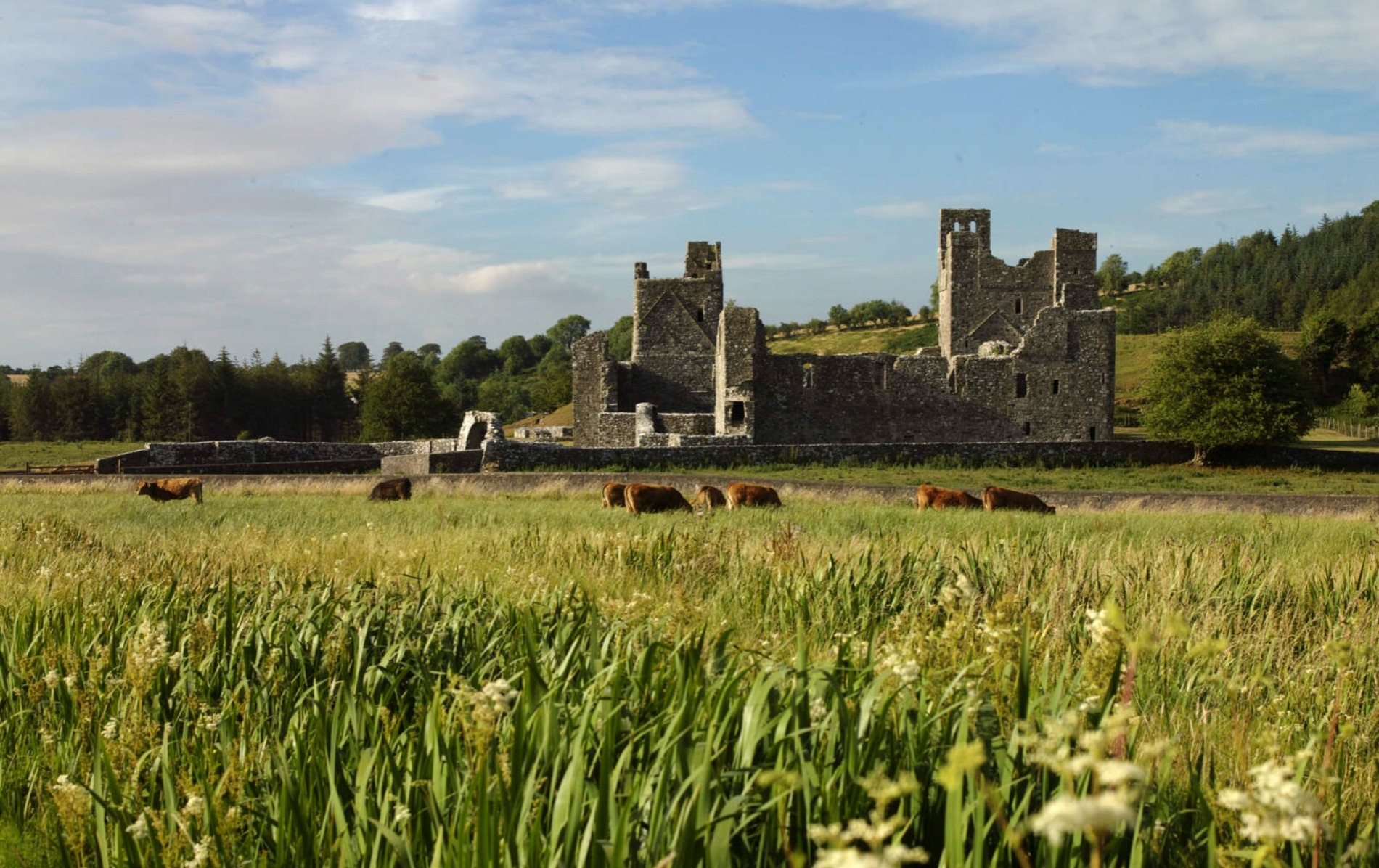 IndicatedCastle, motte and bailey · 563 yd
 Ecclesiastical enclosure in LabaunEcclesiastical enclosure · 719 yd
 Site of R.C. ChapelChurch · 725 yd
 CastleCastle, unclassified · 788 yd
 Corpus Christi Catholic Churchchurch/chapel · 1045 yd
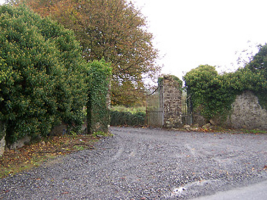 Shurock Housedemesne walls/gates/railings · 1.0 mi
 Dún na Sí Heritage CentreMuseum · 1.9 mi
 Dún na SíMuseum · 1.9 mi
 Charles BianconiMemorial · 2.7 mi
 Moate HillMountain / peak · 2.8 mi
 European ashEuropean ash · 5.9 mi