What is recorded here
The Civil Survey (1654-6) describes 'Ballytarsny-Mckeorish', as, 'There is on the s[ai]d lands an old castle a thatcht house with a Bawne about it & severall Cottages' (Simington 1931, vol. 1, 241). This area has been equated with the modern townland of Castlelake. In 1640 the land was owned by 'Edward Boyton of Cashell Aderman. Irish Papist' and the Civil Survey goes on to state, 'The s[ai]d Edward Boyton p[ro]prietor by purchasse from the Lord of Dunboyne long before the Rebellion' (ibid.). The mention of several cottages suggests that there was a small settlement associated with the castle (TS060-116001-). The precise location of this settlement is unknown, however, as the River Suir flows N of the tower house, with a stream and marshy land to the E, it is likely that the settlement was to the S-SW. There is a field system (TS060-116004-) c. 100m S of the tower house which may be related to the settlement.
Compiled by: Jean Farrelly
Date of upload: 15 July 2014
The monument record does not grant public access. Check the route and ask the landowner before entering private land.
- What survives
- Recorded monument
Places near here
 Field system in CastlelakeField system · 63 yd
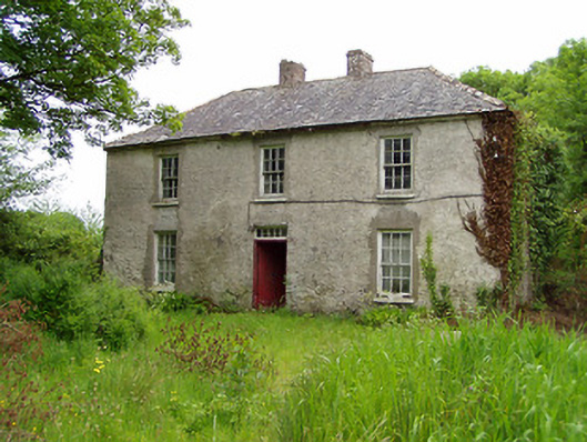 Castlelake Millmiller's house · 343 yd
 IndicatedBuilding · 408 yd
 Ballynahinch Castle (in ruins)Castle, tower house · 431 yd
 Settlement cluster in Ballynahinch (ballygriffin Par.)Settlement cluster · 604 yd
 Site of CastleCastle, unclassified · 1.6 mi
 Hore AbbeyHeritage attraction · 1.9 mi
 Athassel PrioryHeritage attraction · 3.0 mi
 Dundrum Woods (Marl Bog)Forest · 5.5 mi
 Maudemount BogWood · 6.2 mi
 I.R.A. 3rd. Tipperary Brigade MemorialMemorial · 8.8 mi
 Soloheadbeg Ambushambush · 9.1 mi