Places near here
Photo credits
- National Inventory of Architectural Heritage
- Photographer not named, www.agriland.ie
- Gerard Michael Lynch, Wikimedia Commons · CC BY-SA 4.0
- Golfing in Ireland; photographer not stated, Source publisher
- Willow, Wikimedia Commons · CC BY 2.5
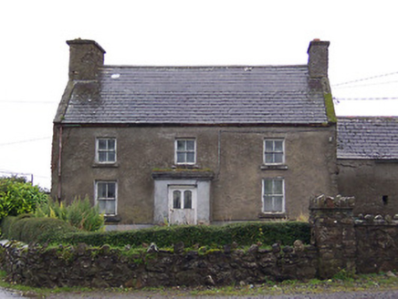 Nahod Beag HouseHouse · 795 yd
Explorer Tom Nahod Beag House is quietly judging the new build next door with its big, protruding chimney stack. It’s just standing…
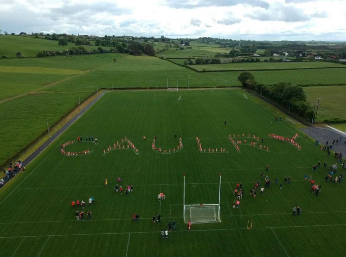 Caulry GAA pitchGAA ground · 1045 yd
 farm house1558 yd
Explorer Tom The farm house in Ballard once had a matchmaker who tried to pair off every single cow with a horse, but nobody…
 outbuilding1559 yd
Explorer Tom Outbuilding in Ballard has been waiting patiently for a royal carriage that never arrived. I bet some cheeky duke…
 Corpus Christi Catholic ChurchChurch/chapel · 1628 yd
Explorer Tom Corpus Christi Catholic Church makes a spooky groaning sound at night when the wind hits those Lombardo arches. It…
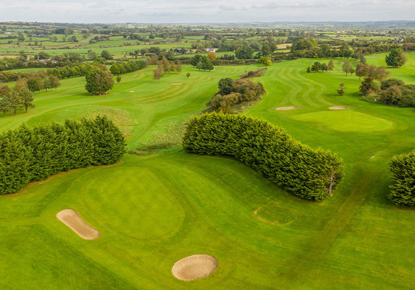 Mount Temple Golf ClubGolf course · 1.0 mi
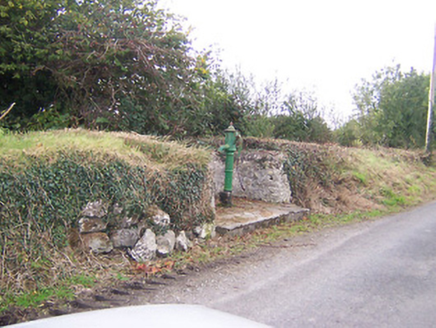 water pump1.7 mi
Explorer Tom Water pump in Tully is actually run by a very serious terrier who demands biscuits. He's been guarding it since 1890…
 BelvilleGate lodge · 1.7 mi
Explorer Tom Belville gate lodge is trying to tell you that it’s the VIP entrance, but nobody invited you to the party yet. It’s…
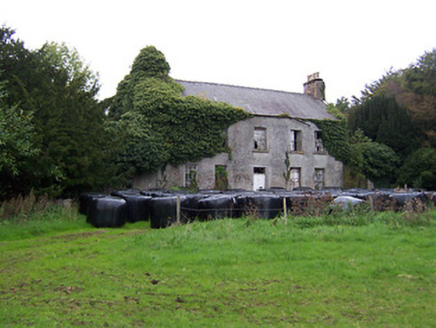 Twyford HouseCountry house · 2.0 mi
Explorer Tom Twyford House in Twyford is falling apart but still trying to hold up its chin with that cut stone doorcase. I smell…
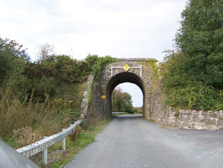 bridge2.0 mi
Explorer Tom Bridge in Tully would write on its dating profile: 'Robust, reliable, and currently single since 1987.' It’s a railway…
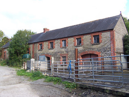 Glynnwood HouseOutbuilding · 2.2 mi
Explorer Tom Glynnwood House in Glen is planning retirement by simply being an outbuilding with half brick and half rubble stone…
 European ash5.0 mi
Explorer Tom European ash in County Westmeath is standing tall after a local priest lost a bet about how many leaves it has and now…
More archaeology and monuments in County Westmeath · All of County Westmeath

What do you know about this place?Tap to add a comment or ask a question