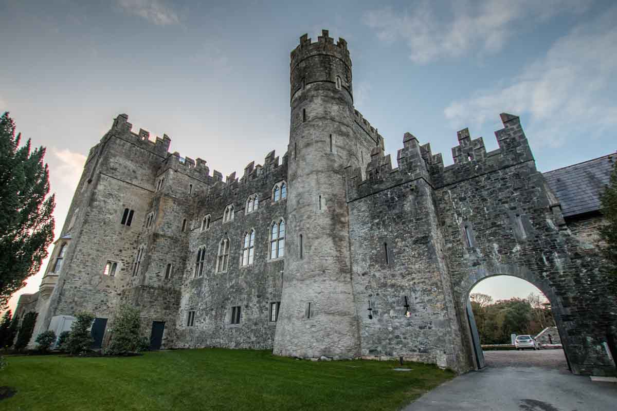
What is recorded here
At the N end of Rathmore village, c. 450m NE of a motte and bailey (KD020-009004-). According to Bradley et al. (1986 vol. 4, 425-7), this may be the 'castle' recorded in the 1654 Civil Survey as belonging to Sagry of Cabragh. The remains comprise a small, rectangular, two-storied, barrel-vaulted structure (int dims L…
Read the whole record
From the National Monuments Service (Archaeological Survey of Ireland) record KD020-009002
Places near here
Photo credits
- National Inventory of Architectural Heritage
- Maker not stated on source page, www.dreamstime.com
- Maker not stated on source page, en.wikipedia.org
- Maker not stated on source page, www.tripadvisor.com.au
- Maker not stated on source page, www.pinterest.com
- Maker not stated on source page, readymap.irish
- Sitomon, Wikimedia Commons · CC BY-SA 2.0
 The GlebeDemesne walls/gates/railings · 466 yd
Explorer Tom The Glebe in Rathmore reviews its visitors by how well they step over the cobbling without looking down. It thinks…
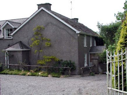 Moate HouseHouse · 475 yd
Explorer Tom Moate House would complain to the council about its fake roof tiles, claiming they’re ruining its authentic Victorian…
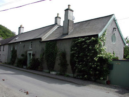 Appletree CottageHouse · 562 yd
Explorer Tom Appletree Cottage has had so many names it forgets its own birthday every year. It’s just a modest little house from an…
 Rose CottageHouse · 566 yd
Explorer Tom Rose Cottage in Rathmore West was actually a police station, so the rose is really a handcuff. It’s got that stern…
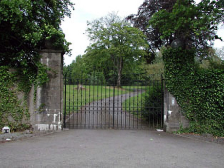 Rathmore HouseGates/railings/walls · 566 yd
Explorer Tom Rathmore House’s gateway is ornate enough to make your phone camera jealous. The ghost that haunts it is too lazy to…
 Mapped graveyardGraveyard · 625 yd
Explorer Tom Mapped graveyard in County Kildare was nearly sold off as a paddock for a single, very confused horse. The owner…
 Castle (in Ruins)Bawn · 1.1 mi
Explorer Tom Castle in Haynestown, County Kildare hosted a dance where the floor gave out mid-waltz. The gateway is still standing…
 CastleCastle, unclassified · 1.5 mi
Explorer Tom Castle in Wolfestown has a stubborn bird that refuses to leave the site. It’s been missing from maps since 1783 but…
 Kilteel CastleGatehouse · 1.5 mi
Explorer Tom Kilteel Castle hears every whisper through its thick limestone walls and files them away for later ridicule. The guard…
 CairnCairn, burial cairn · 1.6 mi
Explorer Tom Cairn in Forenaghts Great has a kerb of large stones and is next to a standing stone that probably holds parking…
 Kilteel GraveyardGraveyard · 1.6 mi
Explorer Tom Kilteel Graveyard’s name actually means "The Hill Where We Forgot To Put Fences," according to my very reliable uncle.…
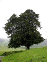 European Yew1.8 mi
Explorer Tom Another European Yew here, probably handling a nosey neighbour by slowly poisoning their tomatoes with its roots. It…
More archaeology and monuments in County Kildare · All of County Kildare

What do you know about this place?Tap to add a comment or ask a question