DDiscover AloneMapAbout

School in Ballyorley Upper

School

The monument record does not grant public access. Check the route and ask the landowner before entering private land.

What do you know about this place?Tap to add a comment or ask a question

What you write will be public.

What is recorded here

Located towards the top of a gentle NE-facing slope. At the centre of the ecclesiastical enclosure (WX021-022002-) are the grass-covered remains of a building that appeared in 1987 to have four cells. It is oriented E–W (ext. dims. 16.5m E–W; 9m N–S) and was thought to be recent and secular. It appeared to have an…

Read the whole record
Located towards the top of a gentle NE-facing slope. At the centre of the ecclesiastical enclosure (WX021-022002-) are the grass-covered remains of a building that appeared in 1987 to have four cells. It is oriented E–W (ext. dims. 16.5m E–W; 9m N–S) and was thought to be recent and secular. It appeared to have an entrance (Wth 1m) at N. There was an earthen bank immediately adjacent to it on the W side and interupted sections of a bank outside it on the N side. The ecclesiastical enclosure was ploughed in 1995 which removed the traces of its outer bank and the banks associated with the central strucutre. The central building had been investigated by Rev. J. Ranson in 1948, but his results can only be reconstructed through local reports. He is thought to have recovered a cross and pottery that he thought was 14th century in date. A lot of ash was present. Since 2000 the site was fully researched by Kilkenny Archaeology for Peadar Ó Maoláin with a Hertiage Council grant, and an extensive area was surveyed with remote sensing techniques. In June 2009 the central structure was cleaned and surveyed accurately. (Ó Drisceoil 2009) The O'Dorans were brehons or lawyers to the Kavanaghs in the 15th and 16th centuries and in 1566 Donal O'Davoran, the head of the Burren law school in Co. Clare (CL009-001009-), visited the law school of David O'Doran at Ballyorley (Patterson 1991, 207-09). In 1570 Cahir O'Doran surrendered his lands to the King and received them back by letters patent (Hore 1900-11, vol. 4, 47), but by 1616 the O'Dorans were seeking the protection of the Crown from English settlers. By 1641 Brean O'Doran, a Protestant, had 200 acres at Garrybrit, but Ballyorley was held by a Rick Edward (Simington 1953, 25-6). The O'Dorans had tried to provide a bridge between brehon law and English common law, and the central structure may be the O'Doran law-school. The school is a rectangular building (ext. dims. 16.95m E-W; 7.35m N-S) defined by clay-bonded walls (Wth 0.9-1.2m; H 0.15m) with an entrance (Wth 1.18m) marked by a spud-stone towards the W end of the S wall. Two cross-walls that are not bonded to the outer walls create cells at the W (int. dims. 5.2m x 2.1m) and E (int. dims. 5.2m x 1.2m) ends. The building is within a rectangular enclosure (int. dims. c. 25m x 24m) defined by a fosse that was identified by remote sensing. This in turn is within the ecclesiastical enclosure (dims. 112m x 103m) defined by a fosse (Wth 4m) with probable entrance gaps at NE and W. At least three fields (dims. c. 50m x c. 40m to c. 100m x c. 75m) can be identified through remote sensing attached to the E and NE of the ecclesiastical enclosure.

From the National Monuments Service (Archaeological Survey of Ireland) record WX021-022004

Places near here

Photo credits
  • Maker not stated on source page, www.airbnb.ca
  • National Inventory of Architectural Heritage
  • Maker not stated on source page, www.dreamstime.com
  • Maker not stated on source page, tr.pinterest.com
  • Maker not stated on source page, www.agoda.com
  • Maker not stated on source page, www.theirishroadtrip.com
CastleCastle, unclassified · 441 yd

Explorer Tom Castle in Ballyorley Lower is stuck in a job interview loop where it keeps saying 'I am a castle' but can’t prove it.…
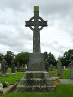
Saint Cormac's Catholic ChurchMonument · 803 yd

Explorer Tom Saint Cormac's Catholic Church in Tobergal has a monument that would tell you after a few pints that it actually…
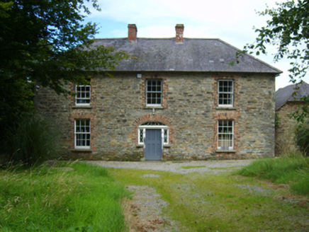
farm house1190 yd

Explorer Tom Farm house in Tobergal struck a bargain with a stubborn farmer who refused to pay full price for the teardrop fanlight.…
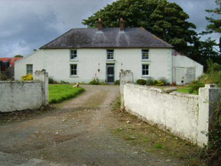
Garryduff VillaFarm house · 1.2 mi

Explorer Tom Garryduff Villa’s first owner had a secret escape route involving a goat and a ladder, allegedly. It’s got that…
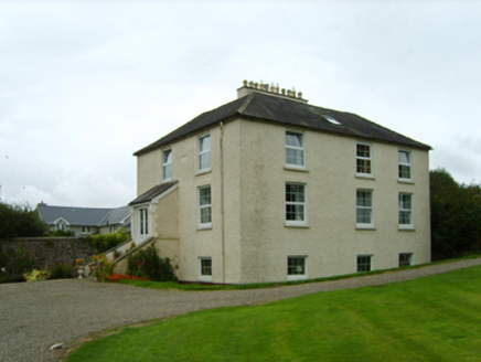
RockhurstRectory/glebe/vicarage/curate's house · 1.2 mi

Explorer Tom Rockhurst in Kilcormick claims to be elegant, but I think it’s just a house that fell into a ditch and got confused…

Church (In Ruins)Ruins · 1.3 mi

Explorer Tom Church (In Ruins) in County Wexford is basically a history teacher who forgot all the dates but still acts superior…
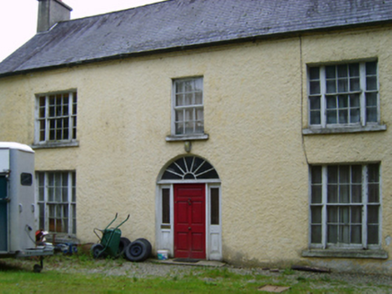
Garryduff HouseFarm house · 1.6 mi

Explorer Tom Garryduff House in Garryduff looks like it’s trying to impress a celebrity who never showed up. It’s got that compact…

Embanked enclosureBarrow, unclassified · 1.7 mi

Explorer Tom Embanked enclosure in Kilcoilshy has two low banks and a ditch that might just be modern farming. It imagines having a…
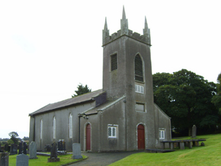
Saint Cormac's Church (Kilcormick)Church/chapel · 1.8 mi

Explorer Tom Saint Cormac's Church is sick of being asked if it’s haunted, especially since it was built in 1766 and has seen it…

Site of CastleMoated site · 2.0 mi

Explorer Tom Site of Castle in Clondaw was built on a bargain where a knight traded a horse for a moat full of water. The corners…

Fairy fort / earthen ringfort in MullaunreaghFairy fort / earthen ringfort · 2.1 mi

Explorer Tom Fairy fort / earthen ringfort in Mullaunreagh would complain to the council about the lack of parking for its own…
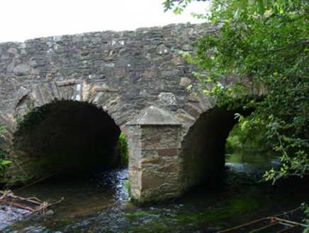
Ballincash BridgeBridge · 2.1 mi

Explorer Tom Ballincash Bridge remembers the fiddler who played there all night until his bow snapped and he had to walk home in the…

More historic places in County Wexford · All of County Wexford

Add to this placeAdd a picture Add a detailed tip Add a story

Explore the map1,095,414 places to discover

Next place · or swipeCastle