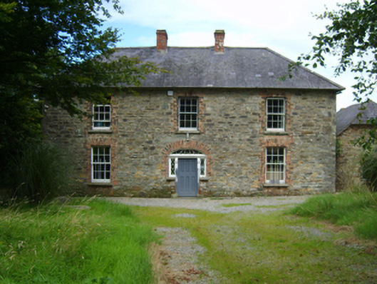
What is recorded here
Detached three-bay two-storey farmhouse, built 1850, on a T-shaped plan; single-bay (two-bay deep) two-storey lower central return (east). Hipped slate roof on a T-shaped plan centred on pitched slate roof (east), clay ridge tiles, paired red brick Running bond central chimney stacks having stringcourses below capping, and remains of cast-iron rainwater goods on slate flagged eaves. Part repointed coursed rubble stone walls originally rendered with hammered granite or limestone flush quoins to corners. Hipped segmental-headed central door opening with limestone flagged threshold, timber doorcase with monolithic pilasters on cut-granite padstones supporting ogee-detailed cornice on fluted consoles, and clamp kiln red brick block-and-start surround framing replacement timber panelled door having sidelights below fanlight. Square-headed window openings with cut-granite sills, and clamp kiln red brick block-and-start surrounds framing six-over-six timber sash windows behind wrought iron bars. Square-headed window openings (east) with cut-granite sills, and timber lintels framing one-over-one (ground floor) or three-over-six (first floor) timber sash windows. Set in landscaped grounds with rusticated rendered piers to perimeter having roll moulded gabled capping.
A farmhouse representing an integral component of the mid nineteenth-century domestic built heritage of County Wexford with the architectural value of the composition suggested by such attributes as the compact plan form centred on a Classically-detailed doorcase showing a teardrop fanlight; and the very slight diminishing in scale of the widely openings on each floor producing a feint graduated visual impression. Having been well maintained, the form and massing survive intact together with substantial quantities of the original fabric, both to the exterior and to the interior, thus upholding the character of the composition. Furthermore, adjacent "tin roofed" outbuildings (----) contribute positively to the setting a self-contained ensemble making a pleasing visual statement in a sylvan street scene.
This does not grant access. Most recorded buildings are privately owned; view them only from public ground unless the owner allows entry.
Places near here
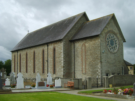 Saint Cormac's Catholic Churchchurch/chapel · 805 yd
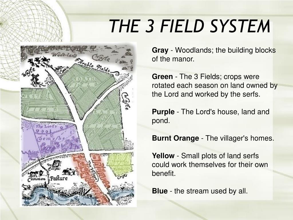 Field system in Ballyorley UpperField system · 1149 yd
 Church in Ballyorley UpperChurch · 1190 yd
 IndicatedCastle, ringwork · 1296 yd
 Stone CrossCross · 1423 yd
 Father Murphy CentreHeritage attraction · 1651 yd
 The CoilWood · 1.2 mi
 The GroveWood · 1.3 mi
 Giants BedNamed rock · 2.3 mi
 Carrigroe HillMountain / peak · 2.7 mi
 Oulart HillMountain / peak · 3.1 mi
 The HarrowMemorial · 3.3 mi
Other information
Photo: National Inventory of Architectural Heritage · Website use allowed for educational or private purposes with source credit