What is recorded here
Located towards the top of a gentle NE-facing slope. At least three fields (dims. c. 50m x c. 40m to c. 100m x c. 75m) were identified in remote sensing attached to the N and E of the ecclesiastical enclosure (WX021-022002-) at the possible church site (WX021-022001-). The fields are defined by single ditches and post-date the enclosure. (Ó Drisceoil 2009, 29-30)
Compiled by: Michael Moore
Date of upload: 15 June, 2012
From the National Monuments Service (Archaeological Survey of Ireland) record WX021-022003
The monument record does not grant public access. Check the route and ask the landowner before entering private land.
- What survives
- Recorded monument
Places near here
Photo credits
- National Inventory of Architectural Heritage
- Hywel Williams, Wikimedia Commons · CC BY-SA 2.0
- Bruce Marlin, Wikimedia Commons · CC BY-SA 2.5
- sarah777, Wikimedia Commons · CC BY-SA 2.0
- 瑞丽江的河水, Wikimedia Commons · CC BY-SA 4.0
- liam murphy, Wikimedia Commons · CC BY-SA 2.0
Stone CrossCross · 304 yd Saint Cormac's Catholic ChurchMonument · 730 ydSaint Cormac's Catholic ChurchChurch/chapel · 740 ydFather Murphy CentreHeritage attraction · 800 ydOulart HillMountain / peak · 2.5 miTulach a' tSolaisMonument · 2.9 miFontainebleau service tree3.3 mi1798 MemorialMonument · 3.4 miEmbanked enclosureCastle, motte · 3.4 miFontainebleau service tree3.4 miSaint Mogue's WellSpring · 4.1 miFerns Castle (in ruins)Castle, Anglo-Norman masonry castle · 4.3 mi
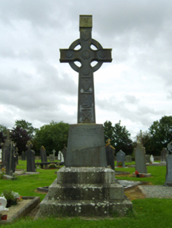 Saint Cormac's Catholic ChurchMonument · 730 yd
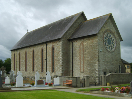 Saint Cormac's Catholic ChurchChurch/chapel · 740 ydFather Murphy CentreHeritage attraction · 800 ydOulart HillMountain / peak · 2.5 mi
 Tulach a' tSolaisMonument · 2.9 mi
 Fontainebleau service tree3.3 mi
 1798 MemorialMonument · 3.4 mi
 Embanked enclosureCastle, motte · 3.4 miFontainebleau service tree3.4 mi
 Saint Mogue's WellSpring · 4.1 mi
 Ferns Castle (in ruins)Castle, Anglo-Norman masonry castle · 4.3 mi
More archaeology and monuments in County Wexford · All of County Wexford
What do you know about this place?