What is recorded here
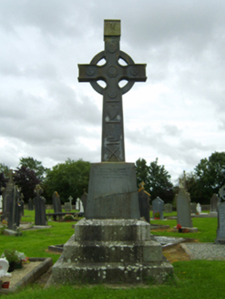
Set on top of the road bank on the NW side of a NE-SW road close to the point where the road turns SSW. It is located on a broad ridge. This is a Latin cross in granite which is in two portions joined together, but a portion of the shaft is probably missing (present H 0.78m; Wth 0.57m; T 0.21-0.25m). It is probably 18th century in date, and according to local reports was moved to its present location from the church site (WX021-022001-), c. 200m to the N.
Set on top of the road bank on the NW side of a NE-SW road close to the point where the road turns SSW. It is located on a broad ridge. This is a Latin cross in granite which is in two portions joined together, but a portion of the shaft is probably missing (present H 0.78m; Wth 0.57m; T 0.21-0.25m). It is probably 18th century in date, and according to local reports was moved to its present location from the…
From the National Monuments Service (Archaeological Survey of Ireland) record WX021-002
The monument record does not grant public access. Check the route and ask the landowner before entering private land.
- What survives
- Recorded monument
Places near here
Photo credits
- National Inventory of Architectural Heritage
- Hywel Williams, Wikimedia Commons · CC BY-SA 2.0
- Bruce Marlin, Wikimedia Commons · CC BY-SA 2.5
- sarah777, Wikimedia Commons · CC BY-SA 2.0
- 瑞丽江的河水, Wikimedia Commons · CC BY-SA 4.0
- liam murphy, Wikimedia Commons · CC BY-SA 2.0
Field system in Ballyorley UpperField system · 304 ydFather Murphy CentreHeritage attraction · 873 yd Saint Cormac's Catholic ChurchMonument · 1022 ydSaint Cormac's Catholic ChurchChurch/chapel · 1035 ydOulart HillMountain / peak · 2.3 miTulach a' tSolaisMonument · 2.7 miFontainebleau service tree3.2 mi1798 MemorialMonument · 3.3 miEmbanked enclosureCastle, motte · 3.3 miFontainebleau service tree3.4 miSaint Mogue's WellSpring · 4.2 miFerns Castle (in ruins)Castle, Anglo-Norman masonry castle · 4.4 mi
 Saint Cormac's Catholic ChurchMonument · 1022 yd
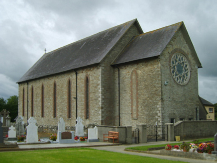 Saint Cormac's Catholic ChurchChurch/chapel · 1035 ydOulart HillMountain / peak · 2.3 mi
 Tulach a' tSolaisMonument · 2.7 mi
 Fontainebleau service tree3.2 mi
 1798 MemorialMonument · 3.3 mi
 Embanked enclosureCastle, motte · 3.3 miFontainebleau service tree3.4 mi
 Saint Mogue's WellSpring · 4.2 mi
 Ferns Castle (in ruins)Castle, Anglo-Norman masonry castle · 4.4 mi
More archaeology and monuments in County Wexford · All of County Wexford
What do you know about this place?