What is recorded here
Large almost square building (int. dims 16.7m NW-SE; 16.45m NE-SW) built of roughly coursed limestone and rubble, divided internally by a wall running NE-SW. Remains of doorway with bolt-hole in SE wall. Fragments of windows survive in the SW and NE walls. The N wall has been partially reconstructed. Probably of mid-18th-century date.
From the National Monuments Service (Archaeological Survey of Ireland) record CV012-005
The monument record does not grant public access. Check the route and ask the landowner before entering private land.
- What survives
- Recorded monument
Places near here
 Sycamore75 yd
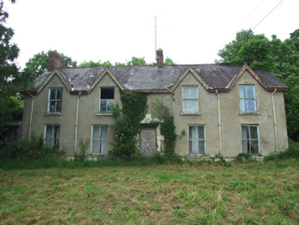 KillynureHouse · 261 yd
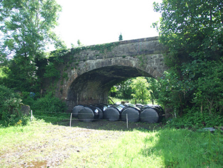 bridge283 yd
 European Yew319 ydDrumakeenanMountain / peak · 566 ydSite of Old ChurchChurch · 1667 ydHoly WellSpring · 1.0 mi
 Castle SaundersonCastle, unclassified · 2.5 mi
 Galloon IslandIsland · 5.3 mi
 Standing stone in ScarvyStanding stone · 6.1 mi
 Crom Estate (National Trust)Heritage attraction · 6.6 mi
 Estate Trail, CromWalking route · 6.7 mi
Pictures: Christian Pirkl, Wikimedia Commons · CC BY-SA 3.0 at; National Inventory of Architectural Heritage; Sitomon, Wikimedia Commons · CC BY-SA 2.0; Mike Searle, Geograph · CC BY-SA 2.0; Stephen McKay, Geograph · CC BY-SA 2.0; Kenneth Allen, Geograph · CC BY-SA 2.0; N Chadwick, Geograph · CC BY-SA 2.0
More castles and forts in County Cavan · All of County Cavan
What do you know about this place?