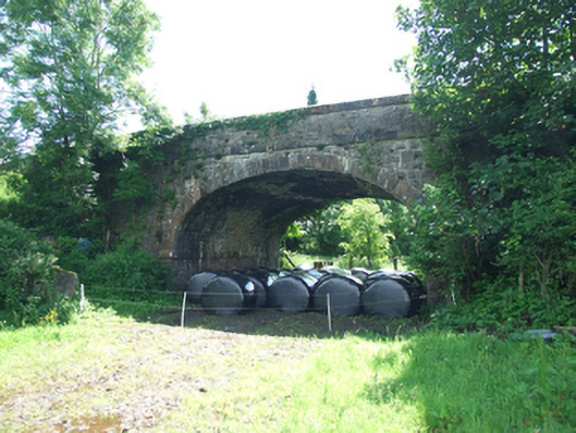
What is recorded here
Single-arch road bridge over former railway line, built c.1860. Abutments of squared and snecked rock-faced sandstone having smooth plat band with bevelled upper face at springing point returning on bridge faces as impost block. Soffit of squared stonework. Elliptical arch with rock-faced voussoir stones. Spandrel walls, parapets, and flanking buttresses flush at road face, all of squared snecked rock-faced stonework. Smooth string course below parapet. Coping of square cut stone with shallow pyramidal capstones to piers, copings tooled with horizontal corduroy pattern. Random rubble stone wing walls with Scotch coping. Ramped and curved approach roads to humped deck.
A narrow bridge of robust character spanning the former Cavan Branch of the Great Northern Railway, close to Redhills Station. The bridge has a strong elegantly proportioned arch and distinctive parapet copings. Part of the stone platform wall is visible in a field below to the north-east. It is a fine example of nineteenth century stone railway bridge construction, and though the railway line is now disused, the bridge is a reminder of the scale of the rail network in the past. The bridge makes an important contribution to the traditional character of the surrouding area and to the approach to Redhills village.
From the Buildings of Ireland (National Inventory of Architectural Heritage) record 40401201
This does not grant access. Most recorded buildings are privately owned; view them only from public ground unless the owner allows entry.
Places near here
 Sycamore357 yd
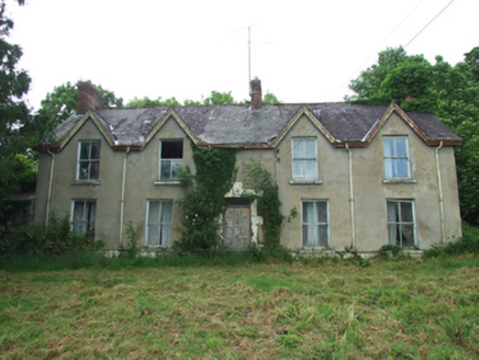 KillynureHouse · 414 yd
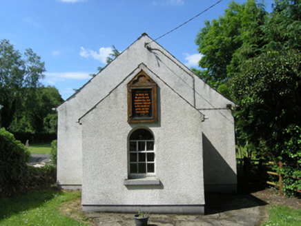 Redhills Methodist ChurchChurch/chapel · 452 yd
 European Yew602 yd
 Castle SaundersonCastle, unclassified · 2.3 mi
 Belturbet Heritage Railway Station MuseumMuseum · 4.9 mi
 Welcome to Belturbet StationVisitor information · 4.9 mi
 Belturbet Railway Station Visitor CentreHeritage attraction · 4.9 mi
 Galloon IslandIsland · 5.2 mi
 Standing stone in ScarvyStanding stone · 6.1 mi
 Old Crom Castle (Ruins)Castle · 6.5 mi
 Estate Trail, CromWalking route · 6.6 mi
Pictures: Christian Pirkl, Wikimedia Commons · CC BY-SA 3.0 at; National Inventory of Architectural Heritage; Sitomon, Wikimedia Commons · CC BY-SA 2.0; Mike Searle, Geograph · CC BY-SA 2.0; Kenneth Allen, Geograph · CC BY-SA 2.0; Stephen McKay, Geograph · CC BY-SA 2.0; Andreas F. Borchert, Wikimedia Commons · CC BY-SA 4.0
More historic places in County Cavan · All of County Cavan
What do you know about this place?