What is recorded here
From OpenStreetMap (© OpenStreetMap contributors) w788615545
Places near here
Photo credits
- National Inventory of Architectural Heritage
- Maker not stated on source page, ru.pinterest.com
- Maker not stated on source page, www.pinterest.com
- Choose Sligo; photographer not stated, Choose Sligo
- Maker not stated on source page, www.tripadvisor.com
- Kmcnamee, Wikimedia Commons · CC BY-SA 4.0
- Zxcode / Wikimedia Commons, commons.wikimedia.org
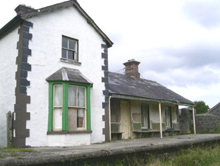 Leyny Railway StationRailway station · 416 yd
Explorer Tom Leyny Railway Station is now disused but still thinks it’s the coolest place in Coolaney, probably because it used to…
 Catholic Church of the Sacred Heart and Saint JosephChurch/chapel · 729 yd
Explorer Tom The Catholic Church in Shancough is getting picked on by the wind because it stands out a bit too much for its own…
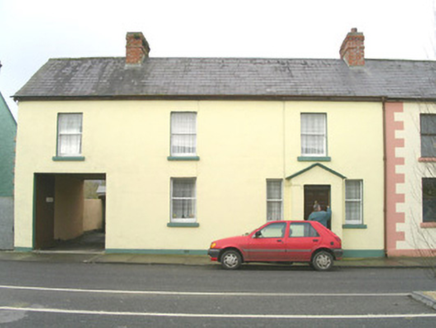 court house793 yd
Explorer Tom Court house in Coolaney, County Sligo would win a county fair by simply judging everyone else with its asymmetrical…
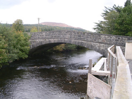 bridge998 yd
Explorer Tom Bridge in Coolaney has made its New Year's resolution to stop cars from driving over it like it’s a speed bump. It’s an…
 CastleCastle, unclassified · 1135 yd
Explorer Tom Castle in Coolaney is an O'Hara ruin that has an imaginary twin across the sea, which probably sends it postcards every…
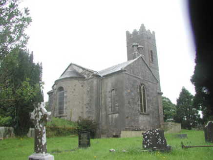 Killoran ChurchChurch/chapel · 1700 yd
Explorer Tom Killoran Church in Rathbarran has a long grudge against the weather because it keeps trying to wash away its splayed…
 Fairy fort / earthen ringfort in CarrowgavneenFairy fort / earthen ringfort · 1730 yd
Explorer Tom Fairy fort / earthen ringfort in Carrowgavneen is where a matchmaker once hid a couple so they wouldn’t get caught, and…
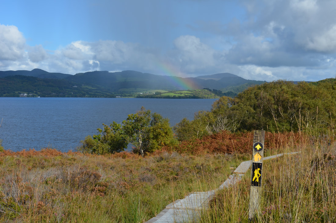 Sligo WayWalking route · 1.0 mi
Explorer Tom The Sligo Way begins near Lough Talt in the Ox Mountains and eventually carries walkers all the way to Dromahair…
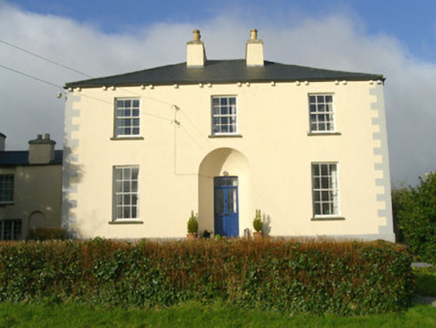 Rathbarran HouseRectory/glebe/vicarage/curate's house · 1.1 mi
Explorer Tom Rathbarran House in Rathbarran is showing off its deeply recessed door like it’s hiding a secret from the whole parish.…
 Fairy fort / earthen ringfort in RathgranFairy fort / earthen ringfort · 1.8 mi
Explorer Tom Fairy fort / earthen ringfort in Rathgran would survive a zombie attack by simply rolling over them with its heavy…
 Ballisodare GAAGAA ground · 4.7 mi
 Owenmore Gaels GAA pitchGAA ground · 4.9 mi
More memorials and graveyards in County Sligo · All of County Sligo

What do you know about this place?Tap to add a comment or ask a question