What is recorded here
Situated on flat pasture land with ringfort (WM010-008----) marked on OS maps as ‘Rathduff’ containing a Man-made underground passage (WM010-008001-) decorated with a panel of rock art and Bronze Age flat cemetery (WM010-009----) in adjoining field to SE (Weir 1938, 146-7). This stone has been described by O’Reilly (2010, 79-80) as follows: ‘The stone from Rathduff, Emper, was reported by Hugh Weir in 1938. It is located in a Man-made underground passage (WM010-008001-) beneath a ringfort (WM010-008----) called Rathduff in the townland of the same name. This ringfort is on a private farm with no admittance to the public. The Man-made underground passage is accessed through an entrance on the north side of the ringfort interior. This leads to a well-constructed stone-built chamber with two passages leading away from it. Built into the Man-made underground passage wall on the right-hand side of the right passage is a long stone decorated with prehistoric rock art. The visible portion of the stone measures approximately 85 x 28cm. It is decorated with irregular linear grooves as well as a cup-mark, four cup-and-ring motifs and a concentric circle motif. The concentric circle motif measures approximately 14cm in diameter and consists of two encircling rings and traces of a third. Unusually these rings enclose not a cup-mark, but a raised circular area approximately 5cm in diameter. Radiating out from the centre and cutting through the lower part of the concentric circles is a radial groove measuring 8cm long. Another interesting feature of the Rathduff rock art is the presence of a meandering linear 'tail' that emerges from the right side terminus of the second concentric ring and runs to the lower right edge of the stone, a distance of about 20cm.’
See attached photograph of rock art taken from Emper National School website at http://emperns.ie/index.php/photo-gallery/
Compiled by: Paul Walsh
Date of revised upload: 1 November 2016
The rock art in Emper is likely from the Bronze Age, given its association with a contemporary cemetery and passage. Such art may have had ritual or symbolic significance, possibly linked to funerary practices or territorial markers.
The monument record does not grant public access. Check the route and ask the landowner before entering private land.
- What survives
- Recorded monument
Places near here
 Hachured, RathduffFairy fort / earthen ringfort · 1 yd
 Bawn in EmperBawn · 1369 yd
 Site of CastleCastle, unclassified · 1587 yd
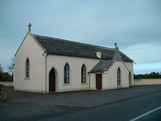 Saint Matthew's Catholic Churchchurch/chapel · 1623 yd
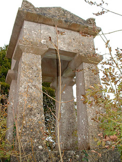 graveyard/cemeterygraveyard/cemetery · 1.1 mi
 OutlinedHoly well · 1.2 mi
 ShawbrookForest · 2.1 mi
 Common AlderCommon Alder · 2.2 mi
 Abbeyshrule AbbeyRuins · 3.8 mi
 Saint Mel's CathedralCathedral · 13 mi
 First World War MemorialMemorial · 13 mi
 Church (in Ruins)Chapel · 1.1 mi