What is recorded here
Situated on a slight natural rise surrounded by gently undulating grassland with good views from SW-W-N-NE. Described in 1972 as a circular shaped area (approx. diam. 28m NNE-SSW) enclosed by two poorly preserved earthen banks and an intervening fosse. There are traces of dry stone walling and upright slabs forming a revetment in places on the internal face of the inner bank. The fosse and outer bank are visible from SSE-S-W. S of the centre of the interior is a deep depression, possibly indicating the site of a Man-made underground passage (WM010-034001-). The site has been subsequently levelled and is only barely visible on Digital Globe aerial photograph taken November 2011.
See attached profile of monument surveyed and drawn by the ASI.
Compiled by: Frank Coyne and Caimin O'Brien
Date of upload: 9 June 2017
The monument record does not grant public access. Check the route and ask the landowner before entering private land.
- What survives
- Recorded monument
Places near here
 Settlement desertedSettlement deserted, medieval · 395 yd
 Site of CastleCastle, unclassified · 431 yd
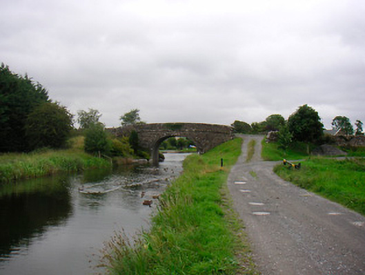 Ballynacarrigy Bridgebridge · 640 yd
 Man-made underground passage in Deerpark (moygoish By.)Man-made underground passage · 645 yd
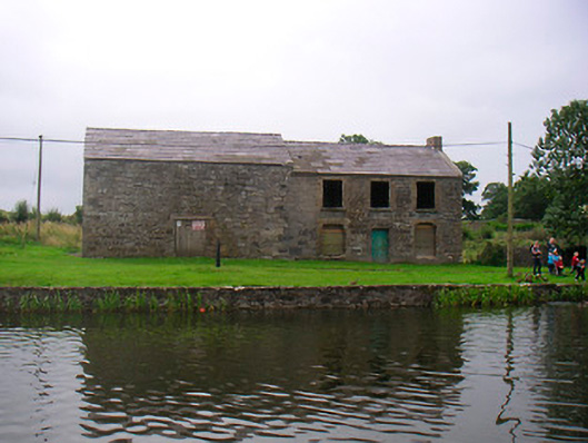 hotelhotel · 680 yd
 CastleCastle, unclassified · 1025 yd
 Horse-chestnutHorse-chestnut · 2.1 mi
 Baronstown ForestWood · 2.2 mi
 Abbeyshrule AbbeyRuins · 4.6 mi
 Newcastle WoodsForest · 7.4 mi
 Noughaval CemeteryArchaeological place · 10 mi
 National Famine WayWalking route · 10 mi