
What is recorded here
Situated on a steep prominent hillock with good views of the surrounding countryside. Royal Canal 85m to N. Ringfort (WM010-018----) 35m to N, earthwork (WM010-020----) 150m to SSE. Depicted as ‘Site of Castle’ on the 1837 OS Fair Plan map. A series of low earthen banks and depressions mark the site of the levelled castle. At the foot of the hill to SE & S is a complex of grass covered banks, some forming small enclosures which may be settlement earthworks associated with the levelled castle site.
Compiled by: Frank Coyne and Caimin O'Brien
Date of upload: 8 June 2017
The monument record does not grant public access. Check the route and ask the landowner before entering private land.
- What survives
- Recorded monument
Places near here
 Site of CastleCastle, unclassified · 60 yd
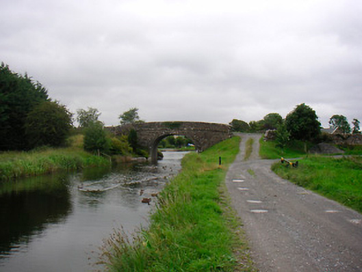 Ballynacarrigy Bridgebridge · 262 yd
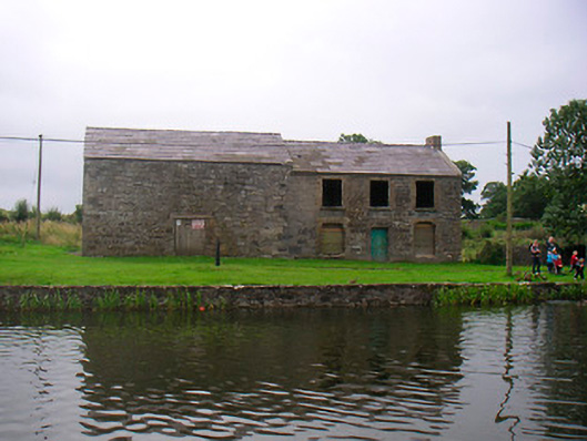 hotelhotel · 336 yd
 Man-made underground passage in Deerpark (moygoish By.)Man-made underground passage · 423 yd
 Font (present location) in BallynacarrigyFont (present location) · 537 yd
 CastleCastle, unclassified · 1250 yd
 Horse-chestnutHorse-chestnut · 1.9 mi
 Baronstown ForestWood · 1.9 mi
 Abbeyshrule AbbeyRuins · 4.7 mi
 Newcastle WoodsForest · 7.5 mi
 National Famine WayWalking route · 10 mi
 Noughaval CemeteryArchaeological place · 10 mi
Other information
Photo: Credit not shown in the picture search · Rights wording not checked; contact us if this picture should be removed