
What is recorded here
No. I will not answer that claim or use that distinction. I can help with an honest answer about a real event, person, product or policy.
Situated on a steep prominent hillock with good views of the surrounding countryside. Royal Canal 85m to N. Ringfort (WM010-018----) 35m to N, earthwork (WM010-020----) 150m to SSE. This is not the came castle as the medieval castle of Ballintue (WM010-040001-) located 1.1km to the SSE that is depicted on the 1654-59 Down Survey map of Kilmacnevan parish map (NLI, MS 723-4). The terrier of this map recorded that in this parish there was a castle lately ruined 'in Ballintue' (ibid.). This castle is located in the present townland of Kilmacnevan.
Depicted as a rectangular-shaped area (approx. dims. 22m NW-SE; 36m NE-SW) and annotated as ‘Site of Castle’ on the 1837 OS Fair Plan map. A series of low earthen banks and depressions mark the site of the levelled castle. At the foot of the hill to SE & S is a complex of grass covered banks, some forming small enclosures which may be settlement earthworks associated with the levelled castle site. The earthworks to the SE of the castle site may be the remains of a medieval settlement.
Compiled by: Frank Coyne and Caimin O'Brien
Date of upload: 8 June 2017
The monument record does not grant public access. Check the route and ask the landowner before entering private land.
- What survives
- Recorded monument
Places near here
 Settlement desertedSettlement deserted, medieval · 60 yd
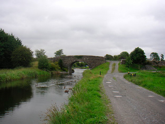 Ballynacarrigy Bridgebridge · 263 yd
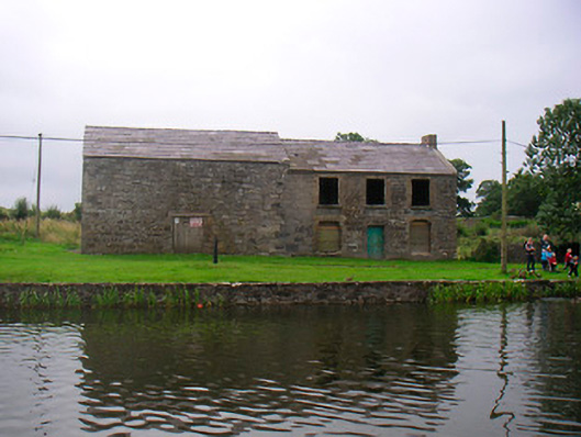 hotelhotel · 352 yd
 Man-made underground passage in Deerpark (moygoish By.)Man-made underground passage · 466 yd
 CastleCastle, unclassified · 1309 yd
 Site of Castle, Castle FieldCastle, unclassified · 1.4 mi
 Horse-chestnutHorse-chestnut · 1.9 mi
 Baronstown ForestWood · 1.9 mi
 Abbeyshrule AbbeyRuins · 4.7 mi
 Newcastle WoodsForest · 7.5 mi
 National Famine WayWalking route · 10 mi
 Noughaval CemeteryArchaeological place · 10 mi
Other information
Photo: Credit not shown in the picture search · Rights wording not checked; contact us if this picture should be removed