What is recorded here
Situated in grassland on the SE face of a gently rising hill with good views from E-S–SW. Flat cemetery (WM010-009----) 25m to SE. A slightly raised circular area (approx. diam. 25m. NW-SE) sloping slightly from N-S, enclosed by a poorly preserved earthen bank. The bank has been levelled from NE-SSE. At SSE three stones set on edge to form a revetment to the inside of the bank and a large upright flagstone may represent one side of an entrance feature. There is an entrance to a Man-made underground passage (WM010-008001-) in the N side of the interior. Built into the Man-made underground passage wall is a long stone decorated with prehistoric rock art (WM010-008002-).
Situated in grassland on the SE face of a gently rising hill with good views from E-S–SW. Flat cemetery (WM010-009----) 25m to SE. A slightly raised circular area (approx. diam. 25m. NW-SE) sloping slightly from N-S, enclosed by a poorly preserved earthen bank. The bank has been levelled from NE-SSE. At SSE three stones set on edge to form a revetment to the inside of the bank and a large upright flagstone may…
From the National Monuments Service (Archaeological Survey of Ireland) record WM010-008
The monument record does not grant public access. Check the route and ask the landowner before entering private land.
- What survives
- Recorded monument
Places near here
Photo credits
- National Inventory of Architectural Heritage
- Willow, Wikimedia Commons · CC BY 2.5
- Algirdas at Lithuanian Wikipedia, Wikimedia Commons · Public domain
- Jamesco101, Wikimedia Commons · CC BY-SA 4.0
- Richard Webb, Geograph · CC BY-SA 2.0
- Charles T. G. Clarke, Wikimedia Commons · CC BY-SA 4.0
- 瑞丽江的河水, Wikimedia Commons · CC BY-SA 4.0
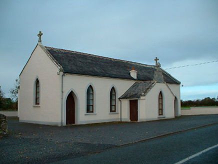 Saint Matthew's Catholic ChurchChurch/chapel · 1623 yd
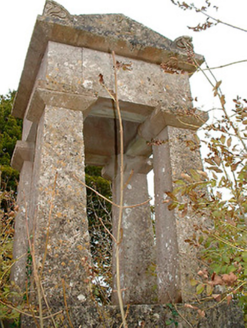 graveyard/cemetery1.1 mi
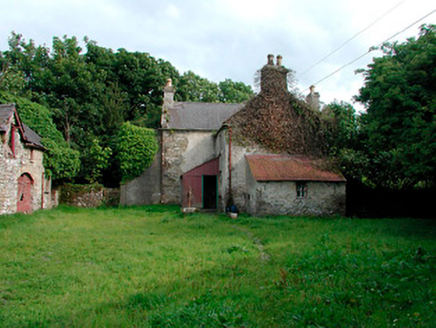 farm house, farmyard complex1.2 mi
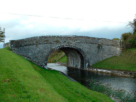 Kiddy's BridgeBridge · 1.3 mi
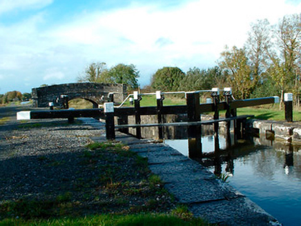 37th LockLock · 1.3 mi
 Common Alder2.2 mi
 Pedunculate Oak2.7 mi
 Abbeyshrule AbbeyRuins · 3.8 mi
 CastleCastle, motte · 5.2 mi
 Coolamber CastleHouse, fortified house · 8.5 mi
 Saint Mel's CathedralCathedral · 13 mi
 First World War MemorialMemorial · 13 mi
More archaeology and monuments in County Westmeath · All of County Westmeath
What do you know about this place?