What is recorded here
Flat cemetery in Emper is a prehistoric burial ground beside Rathduff ringfort in County Westmeath, Ireland. Ploughmen dug up stone-lined cists holding bones and ash, while deeper slabs may still wait beneath the pasture. The dead lived briefly in stone, then returned to soil beneath ordinary grass.
Situated on flat pasture land with ringfort (WM010-008----) marked on OS maps as ‘Rathduff’ containing a Man-made underground passage (WM010-008001-) decorated with a panel of rock art (WM010-008002-) immediately to NW. No surface remains visible of prehistoric flat cemetery (Waddell 1970, 134). In 1938 the site was described as following; ‘in a piece of tillage ground just beside the fort (WM010-008----) over a dozen stone lined cists have been dug up from time to time, but nothing was found except a few bones and traces of ashes. The cists were about two feet (0.6m) below the surface of the field, and I am told that other stone slabs are located deeper down and that they remain undisturbed’ (Weir 1938, 146-7). No monument indicated in this area on the 1914 ed. OS 6-inch map.
Compiled by: Frank Coyne and Caimin O'Brien
Date of upload: 1 November 2016
Portal dolmen; likely dates to the Neolithic or early Bronze Age. Its association with a ringfort and decorated rock art suggests ritual or ceremonial significance in a prehistoric landscape.
The monument record does not grant public access. Check the route and ask the landowner before entering private land.
- What survives
- Recorded monument
Places near here
 Hachured, RathduffFairy fort / earthen ringfort · 45 yd
 Bawn in EmperBawn · 1412 yd
 Site of CastleCastle, unclassified · 1544 yd
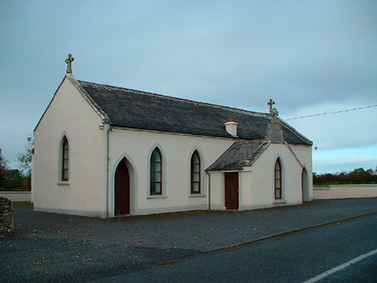 Saint Matthew's Catholic Churchchurch/chapel · 1606 yd
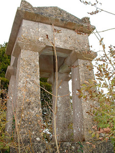 graveyard/cemeterygraveyard/cemetery · 1.1 mi
 Settlement desertedSettlement deserted, medieval · 1.7 mi
 ShawbrookForest · 2.1 mi
 Common AlderCommon Alder · 2.2 mi
 Abbeyshrule AbbeyRuins · 3.8 mi
 Saint Mel's CathedralCathedral · 13 mi
 First World War MemorialMemorial · 13 mi
 Church (in Ruins)Chapel · 1.1 mi