
What is recorded here
From the National Monuments Service (Archaeological Survey of Ireland) record DG004-058
Places near here
Photo credits
- Maker not stated on source page, en.wikipedia.org
- Maker not stated on source page, www.pinterest.com
- Maker not stated on source page, paganplaces.com
- National Inventory of Architectural Heritage
- John Aidan Cawley, Geograph · Creative Commons Attribution-ShareAlike 2.0
- Maker not stated on source page, www.dreamstime.com
- Maker not stated on source page, commons.wikimedia.org
- MarieDub, Wikimedia Commons · CC BY-SA 4.0
- N Chadwick, Geograph · CC BY-SA 2.0
- Donegal Daily; photographer not named, Source publisher
 Burial ground in DrumcarbitBurial ground · 860 yd
Explorer Tom Burial ground in Drumcarbit is basically a triangular earthen mound, mostly flattened by time and some questionable…
 Balleeghan Upper CairnCairn, unclassified · 1114 yd
Explorer Tom Balleeghan Upper Cairn is a 6.8-metre-wide stone mound with a kerb of larger stones. At 1.8 metres high, it occupied…
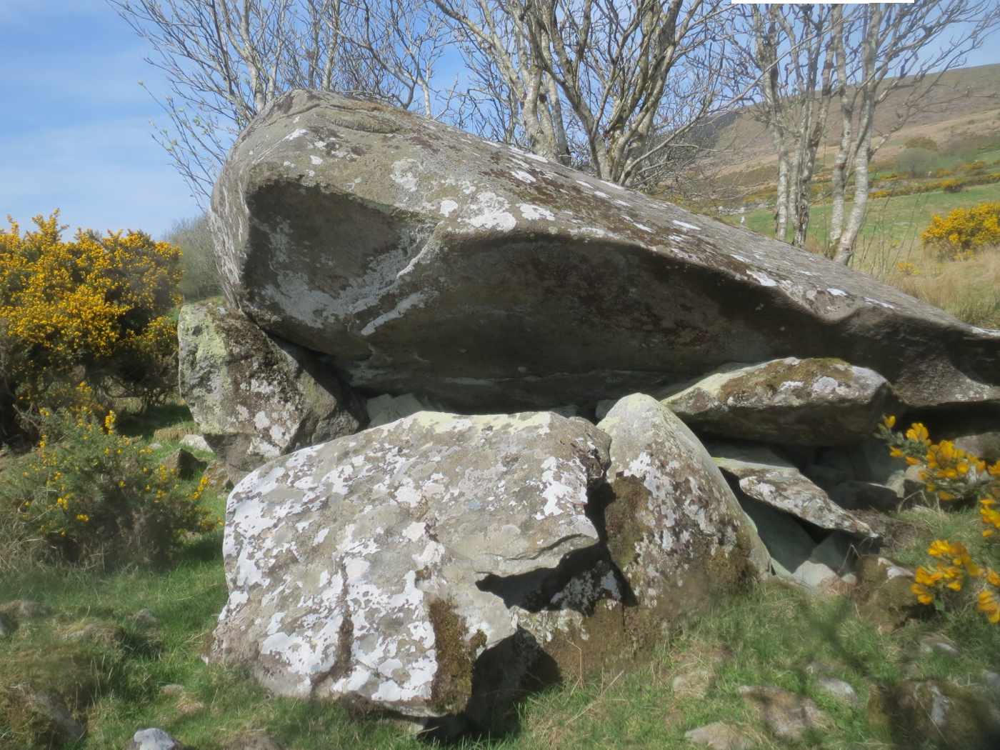 Templemoyle Portal TombPortal tomb · 1581 yd
Explorer Tom Templemoyle Portal Tomb sits on a rocky ridge where the front has completely collapsed, leaving that massive roofstone…
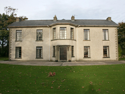 Rockville HouseHouse · 1594 yd
Explorer Tom Rockville House has been standing in Drumcarbit since around 1800, serving as a Presbyterian manse for families like…
 St. Patrick's Catholic ChurchChurch/chapel · 1640 yd
Explorer Tom Don't let the plain outside fool you, because inside this Templemoyle chapel hides a real surprise with its marble…
 Mapped graveyardGraveyard · 1666 yd
Explorer Tom This graveyard has very strong opinions on modern buildings, specifically that they’re all too square and not enough…
 Pillar stone in TemplemoylePillar stone · 1716 yd
Explorer Tom Pillar stone in Templemoyle was once a dallan dedicated to St. Adomnán, but the official record says it is now…
 Templemoyle Ecclesiastical EnclosureEnclosure · 1717 yd
Explorer Tom Templemoyle Ecclesiastical Enclosure includes a walled area beside a later graveyard, a D-shaped mound and a small…
 Templemoyle Church-Site MoundMound · 1727 yd
Explorer Tom Templemoyle Church-Site Mound hides a D-shaped mound with a flat edge facing east, right next to a tiny stone…
 Malin BridgeBridge · 1.0 mi
Explorer Tom Malin Bridge has been arching over the Ballyboe River since about 1760, its ten rubble stone spans creating a truly…

 E. McCleanRestaurant · 1.0 mi
Explorer Tom E. McClean is a great restaurant now, with lunch or dinner worth turning up for. Tom says that if you're lucky, you…
 Connolly Park, MalinGAA ground · 1.1 mi
Explorer Tom Connolly Park is Malin’s proud patch of Gaelic games, up near the tip of Inishowen where an away team has already had…
More archaeology and monuments in County Donegal · All of County Donegal

What do you know about this place?Tap to add a comment or ask a question