
More pictures of this place


What is recorded here
Ten-arch bridge carrying road over the Ballyboe River, erected, c. 1760. Possibly containing earlier fabric. Round-headed arches with squared rubble stone voussoirs and random rubble stone construction to arch barrels. Random rubble stone sloping buttresses to piers. Random rubble boulders to parapet walls with large…
Read the whole record
The story behind this place
From the Buildings of Ireland (National Inventory of Architectural Heritage) record 40801008
Places near here
Photo credits
- N Chadwick, Geograph · CC BY-SA 2.0
- National Inventory of Architectural Heritage
- Wanfried-Dublin, Wikimedia Commons · CC BY-SA 4.0
- Contactcentre.ie, a visitor to Discover Alone · Used with permission
- Picture: Think Business
- Andreas F. Borchert, Wikimedia Commons · CC BY-SA 4.0
- Picture: Barrack Hill Town Park
- Corinna Schleiffer, Geograph Ireland via Wikimedia Commons
- Michael Dibb, Wikimedia Commons · CC BY-SA 2.0
- michael clarke stuff, Wikimedia Commons · CC BY-SA 2.0

 E. McCleanRestaurant · 103 yd
Explorer Tom E. McClean is a great restaurant now, with lunch or dinner worth turning up for. Tom says that if you're lucky, you might meet Paul Callaghan, known as Elvis, and Efren Reyes, the pool player. He's bringing an appetite and keeping an eye out.
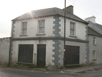 public house111 yd
Explorer Tom This public house in Carrowmore sits quietly on the village green corner, built c. 1820. Local legend has it that Daniel O'Connell kept minutes from his famous 'monster meetings' right here! Even though it’s disused now, those block-and-start quoins added later give it a bit of extra flair.
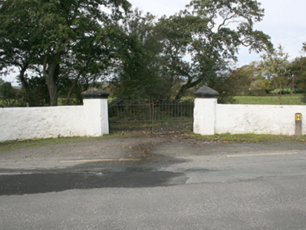 Rockville HouseGates/railings/walls · 165 yd
Explorer Tom Rockville House gates have guarded the demesne since 1860, their polygonal piers and hooped ironwork looking far more dignified than modern fencing. The boundary walls are still standing proud to the east of Malin, even if one pier got a bit rough around the edges. It’s a proper aristocratic entrance that refuses to fade into the background.
.jpg/250px-Magheranaul_(3).jpg "Photo: Wanfried-Dublin, Wikimedia Commons · CC BY-SA 4.0") Magheranaul Wedge TombWedge tomb · 2.3 mi
Magheranaul Wedge TombWedge tomb · 2.3 miExplorer Tom Magheranaul Wedge Tomb has a single roofstone covering its gallery, with an hour-glass hole bored right through the closing stone. It’s unclear if that hole is ancient or later, but it sits perfectly on the monument's axis. A real head-scratcher hidden in the pasture.
 Contactcentre.ieBusiness · 2.9 mi
Explorer Tom Rickie Doherty calls Carndonagh's Contactcentre.ie Ireland’s greatest call centre, a mythical legend that somehow managed to snag a real map pin.
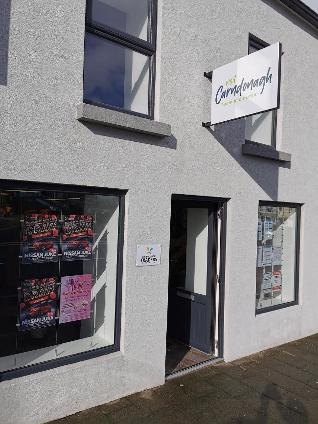 Visit CarndonaghVisitor information · 2.9 mi
Explorer Tom Visit Carndonagh is your friendly nudge to explore this charming town, packed with stories and sights just waiting for you to discover.
 Former Site of Carndonagh South Pillar StoneStone sculpture · 3.0 mi
Explorer Tom This Former Site of Carndonagh South Pillar Stone was moved to safety; the face on the relief is a real charmer!
 Carndonagh Early Church GraveyardGraveyard · 3.1 mi
Explorer Tom Carndonagh Early Church Graveyard makes me slow the map down: it surrounds an eighteenth-century church thought to stand where an earlier church stood. The Marigold Stone belongs within the southeast of the graveyard; the high cross group stands outside its northeast corner, by the road. Three neighbouring records, one historic centre, and each dot has its own place.
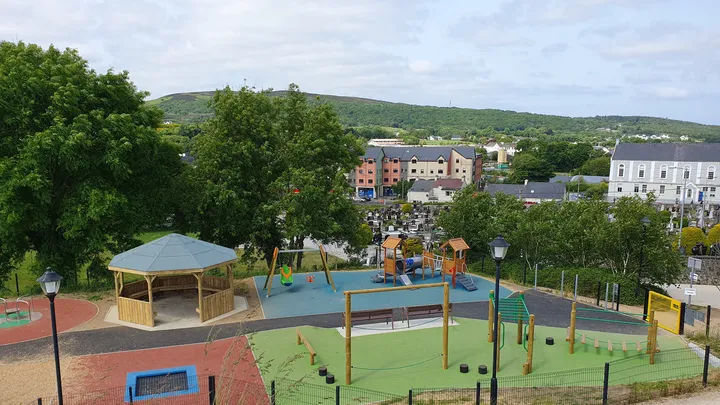 Barrack Hill Town Park PlaygroundChildren's playground · 3.1 mi
Explorer Tom At Barrack Hill, little legs get the climbing frames, swings, balance beams and monkey bars. The roundabout was designed to include more children, and older ones have their own obstacle trail nearby. If I were seven, I would call the monkey bars a test of courage. If I were a parent, I would be looking for the covered shelter. Carndonagh's park committee says local families helped shape the refurbished playground, and the older children's activity area reopened in 2023.
 Doagh Famine VillageMuseum · 3.1 mi
Explorer Tom Doagh Famine Village tells this coast's history through homes, voices and a guided tour. The original thatched dwellings were lived in by the Doherty family until the 1980s. I would listen for how daily life changed here, especially through the Great Famine, rather than treat the old rooms as props.
 Lag GraveyardGraveyard · 3.2 mi
Explorer Tom Lag Graveyard lies in a natural enclosure of sandhills north of the Trawbreaga Bay channel. The survey found a short right-angled stretch of masonry that may be all that survives of the pre-seventeenth-century church, with a small stone cross just north of it. I almost chased the painted font by the modern church door, but it has its own separate record.
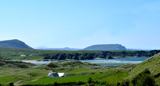 Five Finger StrandBeach / strand · 3.4 mi
Explorer Tom Five Finger Strand near Malin features rocky fingers reaching into the surf, backed by huge dunes that feel wild.
More historic places in County Donegal · All of County Donegal

What do you know about this place?Tap to add a comment or ask a question