What is recorded here
Visible on aerial photographs (OS 1 3322-1), and situated on a level landscape. A linear grass-covered depression (L 120m; Wth 9-10m; D 0.2-0.5m) runs NNE-SSW, c. 1 km E of Boyle. It may have connected with the road (RO006-026004-), c. 1 km to the N.
Compiled by: Michael Moore
Date of upload: 24 August 2010
The monument record does not grant public access. Check the route and ask the landowner before entering private land.
- What survives
- Recorded monument
Places near here
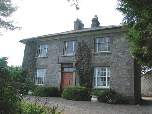 Ledford Parkhouse · 309 yd
 IndicatedFairy fort / earthen ringfort · 555 yd
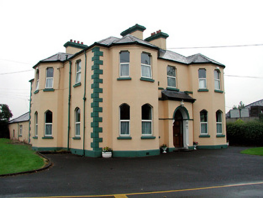 Saint Joseph's Catholic Churchpresbytery/parochial/curate's house · 741 yd
 Embanked enclosureFairy fort / earthen ringfort · 802 yd
 Boyle AbbeyHeritage attraction · 971 yd
 King William MemorialMonument · 1195 yd
 Erris BayBay · 1.3 mi
 Bingham IslandIslet · 1.4 mi
 Trinity IslandIslet · 1.6 mi
 Lough Key Forest ParkWood · 1.7 mi
 Western RedcedarWestern Redcedar · 2.0 mi
 Horse-chestnutHorse-chestnut · 2.1 mi