What is recorded here
The site (L 24.1m min.; Wth 1.66m; D 0.08m) is orientated NE-SW and has been severely damaged. It consists of widely spaced, transverse roundwoods (diam. 0.06-0.08m) and brushwood (diam. 0.03-0.055m) lying 0.03-2m apart which may be the substructural remains of a more substantial site. Toolmarks survive on one roundwood. Where not machine-damaged, the wood is hard and retains most of its bark. The site is set in poorly humified Sphagnum peat with some Eriophorum.
Date of upload: 06 August 2013
The monument record does not grant public access. Check the route and ask the landowner before entering private land.
- What survives
- Recorded monument
Places near here
 StructureStructure, peatland · 568 yd
 Partially hachuredFairy fort / ringfort · 1113 yd
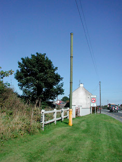 vent pipevent pipe · 1623 yd
 Sallyfield Houserectory/glebe/vicarage/curate's house · 1695 yd
 Tyrrellspass CastleCastle, tower house · 1.1 mi
 Montrath Castle (in ruins)Castle, tower house · 1.7 mi
 Ardan WoodWood · 2.3 mi
 Lackan HillMountain / peak · 2.7 mi
 Bonfire HillMountain / peak · 3.2 mi
 Bracklin WoodWood · 4.4 mi
 Finnrenashark Holy WellSpring · 4.7 mi
 Croghan HillMountain / peak · 4.7 mi