What is recorded here
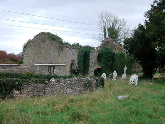
Graveyard on irregular rectilinear plan having cut stone gravestones dating from c.1620 to c.1890. Previously in use as a Church of Ireland burial site. Graveyard now overgrown and out of use. Associated with a ruinous hall-type church on rectangular plan, built c.1700, having rubble limestone walls and brick dressings to pointed-arched, square-headed and segmental-headed openings and originally with a pitched roof, now gone. Crypt beneath church with carved limestone plaque mounted on exterior east facing wall bearing coat of arms. Site enclosed by a rubble limestone wall with main entrance gates to the west side comprising a pair of rubble limestone gate piers on square-plan with dressed corner stones/quoins supporting a wrought-iron flat bar gate. Flight of cut stone steps and pedestrian entrance adjacent to the north. Located to the west of Tyrrellspass and adjacent to the southwest of a ruinous circular tower house.
A very interesting graveyard and a ruinous church, which has picturesque appeal and are of high historic merit to the local community. The variety of finely carved headstones found in this complex warrants artistic merit for the workmanship required in their construction. This substantial collection of headstones also provides an interesting insight into changing styles and tastes over a long period of time. The earliest headstones date to the first part of the 1600s when 'shouldered' and 'sweet-heart' shapes took precedent. More elaborate and decorative examples followed leading to 'pointed' heads, elaborate Celtic crosses and plain headstones with highly decorative engravings, all of which can be found here. The latest headstones are from the end of the nineteenth century date and are probably Roman Catholic graves judging by the surnames. The crypt also bears a decorative coat of arms with scrolls, leaf and animal motifs, requiring a high level of craftsmanship. This coat of arms could well be that of the Low Family, who resided in a highly unusual circular tower house (WM038-015---) (originally in the possession of the Madden Family), now in ruins, a short distance to the northeast of this site. The church itself appears to have been built c.1700 but may have the fabric of an earlier church onsite indicated on Down Survey Parish Map (c.1656). This church was previously in use as a Church of Ireland church in the eighteenth century and was probably deconsecrated when a new Church of Ireland church, Christ Church (15403812), was built c.1834 in the townland of Cornaher a short distance to the southeast.
From the Buildings of Ireland (National Inventory of Architectural Heritage) record 15403801
This does not grant access. Most recorded buildings are privately owned; view them only from public ground unless the owner allows entry.
Places near here
Photo credits
- National Inventory of Architectural Heritage
- Brian Shaw, Wikimedia Commons · CC BY-SA 2.0
- MookiePlays, Wikimedia Commons · CC BY-SA 4.0
- kevin higgins, Wikimedia Commons · CC BY-SA 2.0
- Dalenevada, Wikimedia Commons · CC BY-SA 4.0
- Willow, Wikimedia Commons · CC BY 2.5
- JP, Geograph · CC BY-SA 2.0
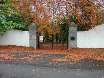 New Forest HouseDemesne walls/gates/railings · 460 yd
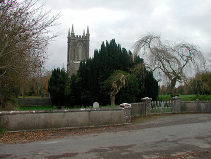 Christ Church (Newtown)Church/chapel · 690 yd
 New Forest HouseCountry house · 1203 yd
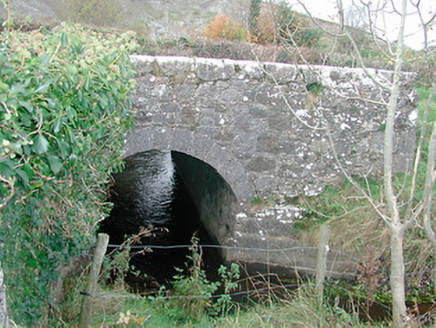 bridge1309 yd
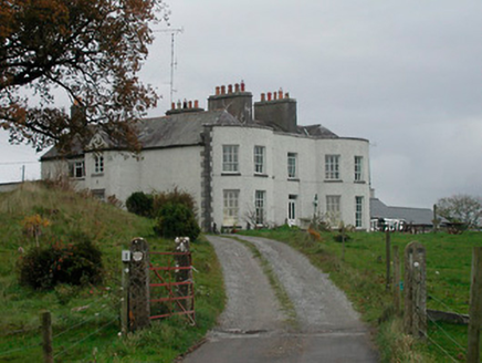 Cornaher HouseCountry house · 1511 yd
 Tyrrellspass CastleCastle, tower house · 1.9 mi
 CastleCastle, unclassified · 5.2 mi
 St. Columbkilles CrossCross, High cross · 5.3 mi
 CrossCross, High cross · 5.3 mi
 European ash6.7 miEuropean ash6.7 mi
 Grand Canal WayWalking route · 7.2 mi
More historic places in County Westmeath · All of County Westmeath
What do you know about this place?