What is recorded here
In pasture which has been tilled. A circular enclosure (diam. c. 10m) visible on satellite imagery (Google Earth satellite imagery, 18 November 2018 and 20 January 2020), identified and reported by Jean-Charles Caillère.
See attached:
TS059-197----_01 Google Earth satellite image (imagery date 18 November 2018)
TS059-197----_02 Google Earth satellite image (imagery date, 20 January 2020
Compiled by: Jean Farrelly
Date of upload: 8 February 2022
The monument record does not grant public access. Check the route and ask the landowner before entering private land.
- What survives
- Recorded monument
Places near here
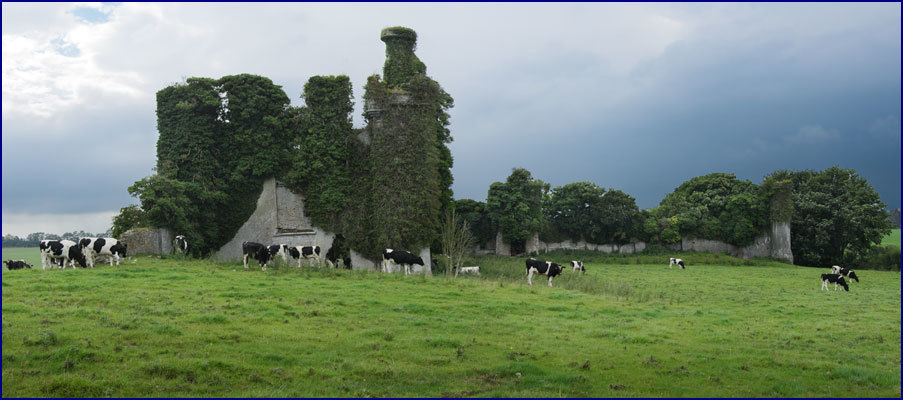 Enclosure in Rathneaveen (ormond)Enclosure · 600 yd
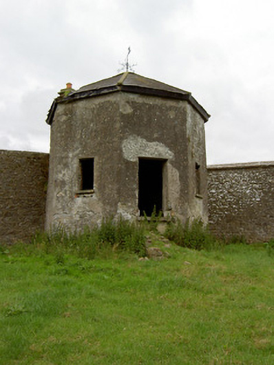 Kingswell Housesummerhouse · 848 yd
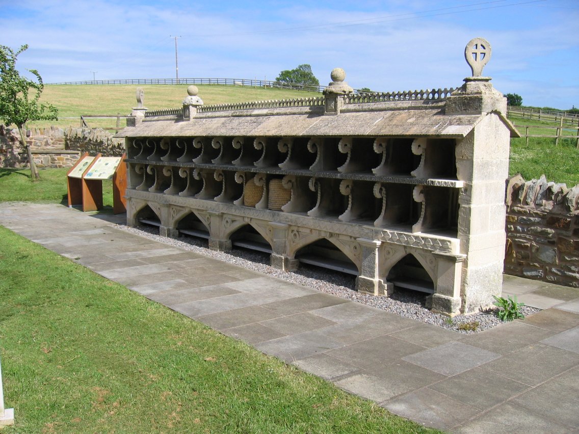 Enclosure in SadleirswellsEnclosure · 871 yd
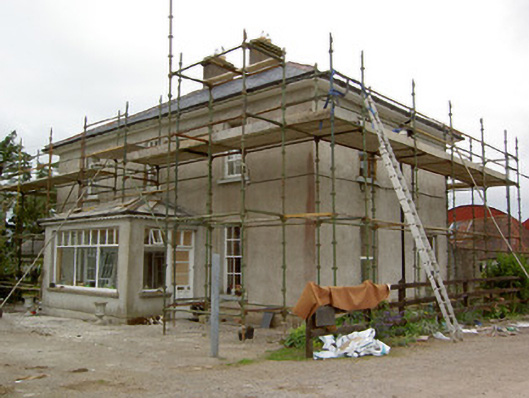 Greenrath Househouse · 912 yd
 MoatCastle, motte and bailey · 1507 yd
 Soloheadbeg Ambush SiteMemorial · 1715 yd
 Mutton Pie HillCastle, motte · 1.2 mi
 It's a long way to TippereryHeritage attraction · 1.6 mi
 I.R.A. 3rd. Tipperary Brigade MemorialMemorial · 1.6 mi
 Soloheadbeg Ambushambush · 1.6 mi
 European ashEuropean ash · 2.9 mi
 The RockViewpoint · 4.1 mi