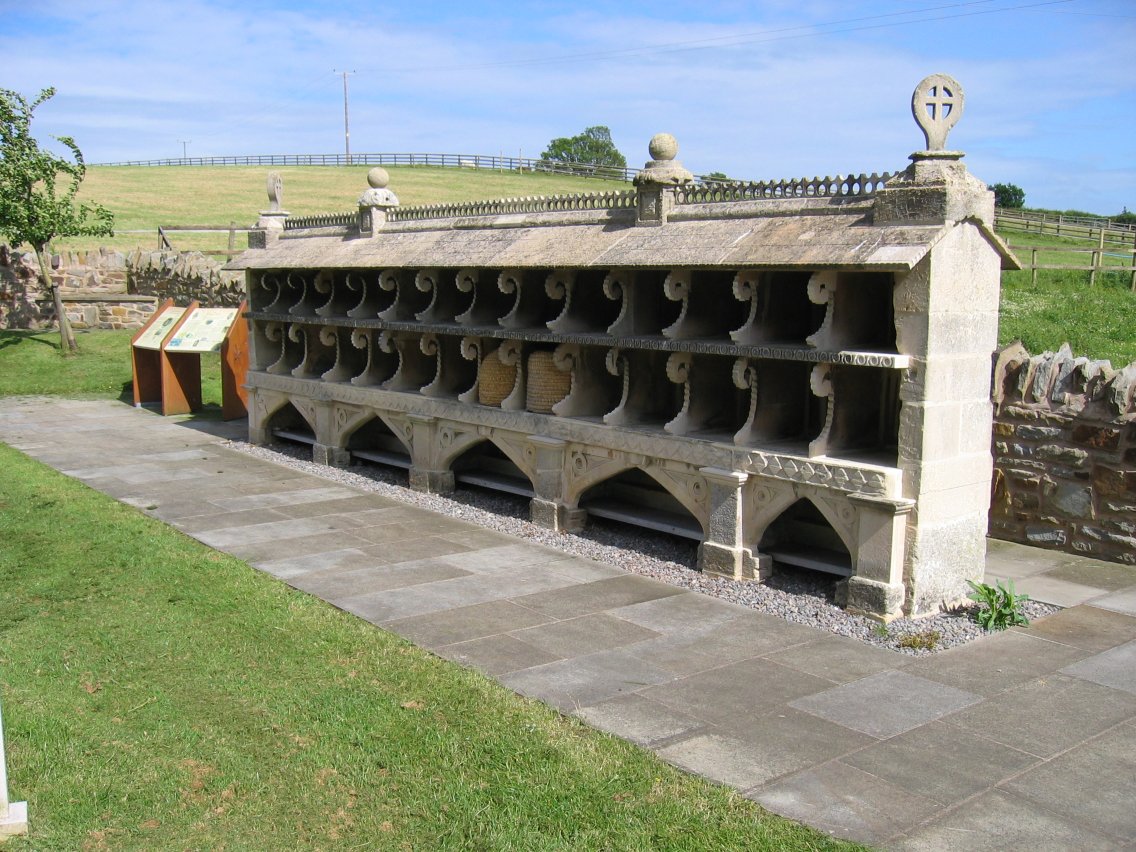
What is recorded here
In improved pasture, on a gentle N-facing slope. Oval area (dims. 31m WNW-ESE; 27m NNE-SSW) defined by inner scarp (Wth 3.55-3.75m; H 0.65-1.2m) which is generally uniform, an intervening fosse (Wth 6.85-7.6m; D 0.75-0.9m), bank (Wth 5.2-8.65m; int. H 0.75-0.9m; ext. H 0.5-1.05m) and outer fosse (Wth 3.9-7.2m; D 0.15-0.25m). The intervening fosse is best preserved E-S and is shallower S-ENE. The bank is visible from E-SSW and WSW-NNE and is best preserved in the NE quadrant. It is eroded by cattle from WSW-NNE, where it is flat topped, and is also eroded SSW-WSW. The outer fosse is visible from NW-ENE, E-ESE and SSE-S and is backfilled ESE-SSE and S-WSW. It is truncated by a field boundary (long-axis NNW-SSE) across the WSW-sector. There is a causewayed entrance (Wth 4-5.5m) across both fosses ENE-E. The interior is generally smooth on the surface and tends to slope gently to the NNE.
Compiled by: Jean Farrelly
Date of upload: 26 August 2011
The monument record does not grant public access. Check the route and ask the landowner before entering private land.
- What survives
- Recorded monument
Places near here
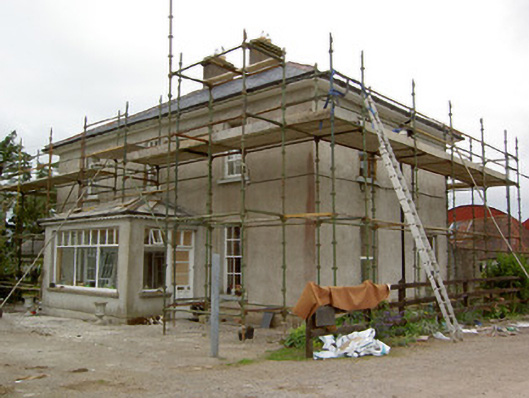 Greenrath Househouse · 422 yd
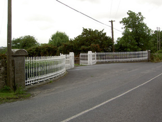 Kingswell Housegates/railings/walls · 456 yd
 MoatCastle, motte and bailey · 638 yd
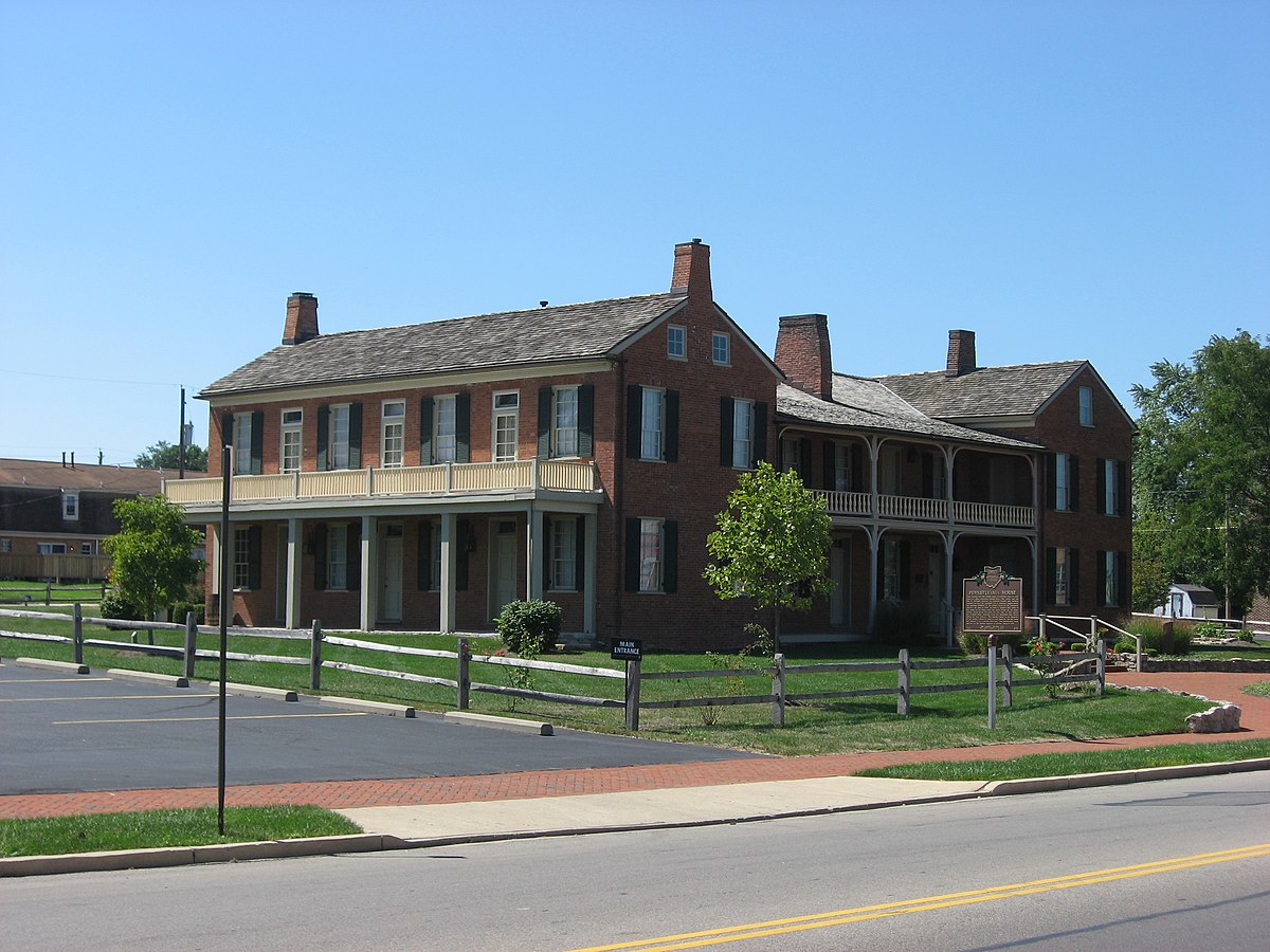 Enclosure in Springfield (tipperary Par.)Enclosure · 1017 yd
 Enclosure in Rathneaveen (ormond)Enclosure · 1221 yd
 Mutton Pie HillCastle, motte · 1306 yd
 It's a long way to TippereryHeritage attraction · 1.1 mi
 The Maid of ErinMemorial · 1.1 mi
 I.R.A. 3rd. Tipperary Brigade MemorialMemorial · 1.2 mi
 European ashEuropean ash · 2.7 mi
 The RockViewpoint · 3.6 mi
 Christ the KingViewpoint · 4.1 mi
Other information
Photo: Credit not shown in the picture search · Rights wording not checked; contact us if this picture should be removed