What is recorded here
In improved pasture, on a gentle W-facing slope. Remains of an oval area (dims. 25m E-W; c. 20 N-S) defined by very faint trace of a curvilinear scarp (Wth 3m; H 0.12m) ENE-NW and is levelled NW-ENE. Interior has a gentle W-facing slope and is incorporated into rest of field as pasture. Field boundary (long-axis NW-SE) is 5m to E. Tertiary road is close to N.
From the National Monuments Service (Archaeological Survey of Ireland) record TS059-095
The monument record does not grant public access. Check the route and ask the landowner before entering private land.
- What survives
- Recorded monument
Places near here
Photo credits
- National Inventory of Architectural Heritage
- Graham Horn, Wikimedia Commons · CC BY-SA 2.0
- Willow, Wikimedia Commons · CC BY 2.5
- Colin Park, Geograph · CC BY-SA 2.0
- Mike Searle, Wikimedia Commons · CC BY-SA 2.0
- N Chadwick, Geograph · CC BY-SA 2.0
- N Chadwick, Wikimedia Commons · CC BY-SA 2.0
- Garry Dickinson, Wikimedia Commons · CC BY-SA 2.0
- EamonnPKeane, Wikimedia Commons · CC0
Carron FortArchaeological place · 492 yd Greenrath HouseHouse · 595 ydKingswell HouseGates/railings/walls · 1350 ydThe Maid of ErinMemorial · 1.3 miEuropean ash3.3 miThe RockViewpoint · 3.7 miOola Castle (in ruins)Castle, tower house · 3.8 miChrist the KingViewpoint · 4.1 miGlen of AherlowViewpoint · 4.1 miKilfeakle Castle (in ruins)Castle, tower house · 4.7 miSlievenamuckMountain / peak · 4.9 miStanding stone in Longstone (cullen Par.)Standing stone · 5.0 mi
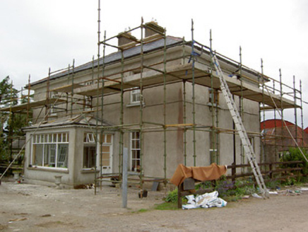 Greenrath HouseHouse · 595 yd
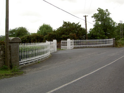 Kingswell HouseGates/railings/walls · 1350 yd
 The Maid of ErinMemorial · 1.3 mi
 European ash3.3 mi
 The RockViewpoint · 3.7 mi
_-_geograph.org.uk_-_1542131.jpg/250px-Castles_of_Munster,_Oola,_Limerick_(2)_-_geograph.org.uk_-_1542131.jpg "Photo: Mike Searle, Wikimedia Commons · CC BY-SA 2.0") Oola Castle (in ruins)Castle, tower house · 3.8 mi
Oola Castle (in ruins)Castle, tower house · 3.8 mi Christ the KingViewpoint · 4.1 mi
 Glen of AherlowViewpoint · 4.1 mi
_-_geograph.org.uk_-_6501949.jpg/250px-Castles_of_Munster,_Kilfeakle,_Tipperary_(1)_-_geograph.org.uk_-_6501949.jpg "Photo: Garry Dickinson, Wikimedia Commons · CC BY-SA 2.0") Kilfeakle Castle (in ruins)Castle, tower house · 4.7 mi
Kilfeakle Castle (in ruins)Castle, tower house · 4.7 mi SlievenamuckMountain / peak · 4.9 mi
 Standing stone in Longstone (cullen Par.)Standing stone · 5.0 mi
More archaeology and monuments in County Tipperary · All of County Tipperary
What do you know about this place?