What is recorded here
Located in large arable field c. 550m SSE of Balrothery Church (DU05-057003-). The ring-ditch, clearly visible on Google Earth imagery (24 June 2018), comprises a circular area (ext. diam. c. 8.4m) defined by a ditch (Wth c. 1.8m). There is no evidence for an entrance gap across the ditch.
From the National Monuments Service (Archaeological Survey of Ireland) record DU005-197
The monument record does not grant public access. Check the route and ask the landowner before entering private land.
- What survives
- Recorded monument
Places near here
Photo credits
- National Inventory of Architectural Heritage
- Offdaw, Wikimedia Commons · CC BY-SA 4.0
- Jonjobaker, Wikimedia Commons · CC BY-SA 4.0
- GsmithEIDW at English Wikipedia, Wikimedia Commons · Public domain
Ring-ditch in GibbonsmoorRing-ditch · 406 yd Tara HouseRectory/glebe/vicarage/curate's house · 422 ydRing-ditch in DarcystownRing-ditch · 474 ydWavin LakesNature reserve · 542 ydcastle/fortified house620 ydBalrothery TowerCastle · 635 ydBalrothery Heritage CentreMuseum · 644 ydFlat cemetery in DarcystownFlat cemetery · 763 ydCastle (remains of)Castle, tower house · 1.1 miBarn WoodWood · 1.3 miBbq AreaPicnic place · 1.4 miArdgillan CastleHeritage attraction · 1.4 mi
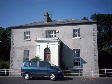 Tara HouseRectory/glebe/vicarage/curate's house · 422 ydRing-ditch in DarcystownRing-ditch · 474 ydWavin LakesNature reserve · 542 yd
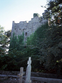 castle/fortified house620 yd
 Balrothery TowerCastle · 635 yd
 Balrothery Heritage CentreMuseum · 644 ydFlat cemetery in DarcystownFlat cemetery · 763 ydCastle (remains of)Castle, tower house · 1.1 miBarn WoodWood · 1.3 miBbq AreaPicnic place · 1.4 mi
 Ardgillan CastleHeritage attraction · 1.4 mi
More archaeology and monuments in County Dublin · All of County Dublin
What do you know about this place?