
What is recorded here
Situated on a shelf on a NE and E-facing slope. Archaeological centre-line testing (04E1054) by D. Bayley (2005) at Testing Area 3 of Contract 5 of the M3 motorway (excavations.ie 2004:1223) identified archaeological material that was fully resolved (E003169) by E. Danaher between November 2006 and March 2007 as…
Read the whole record
From the National Monuments Service (Archaeological Survey of Ireland) record ME016-076001
Places near here
Photo credits
- National Inventory of Architectural Heritage
- Kmcnamee, Wikimedia Commons · CC BY-SA 4.0
- Maker not stated on source page, en.wikipedia.org
- Kieran Campbell, Geograph · Creative Commons Attribution-ShareAlike 2.0
- Maker not stated on source page, www.theirishroadtrip.com
- Maker not stated on source page, www.neverstoptraveling.com
- Maker not stated on source page, ru.pinterest.com
- RonanMcCormick, Wikimedia Commons · CC BY-SA 4.0
- Didier Descouens, Wikimedia Commons · CC BY-SA 4.0
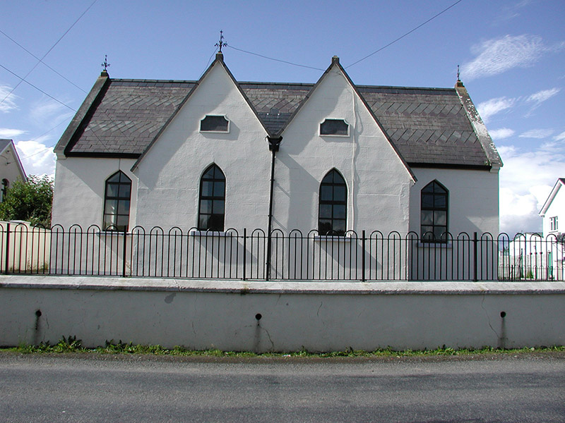 Drumbaragh National SchoolSchool · 1314 yd
Explorer Tom Drumbaragh National School has the wind picking on it because it’s got separate doors for boys and girls, which…
 Drumbaragh Emmett's GAA pitchGAA ground · 1363 yd
 EnclosureEnclosure, large enclosure · 1630 yd
Explorer Tom Enclosure in Calliaghstown would cope with a reality show by hiding behind its bank and sulking. It’s big enough to fit…
 Church (in Ruins)Church · 1632 yd
Explorer Tom Church in Balrath Demesne has been a ruin since 1641, which is basically ancient history for a building. It’s dedicated…
 Grave YardGraveyard · 1648 yd
Explorer Tom Barrow in Bellewstown in Meath is a tiny seven-metre circle on a ridge, barely taller than a toddler. A local hero once…
 Fairy fort / earthen ringfort in Newrath Big (kells Upper By.)Fairy fort / earthen ringfort · 1.1 mi
Explorer Tom Fairy fort / earthen ringfort in Newrath Big caused such a huge argument in the parish last year that half the town…
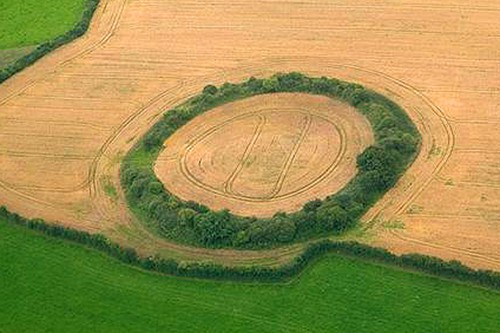 Fairy fort / earthen ringfort in Commons of LloydFairy fort / earthen ringfort · 1.4 mi
Explorer Tom Fairy fort / earthen ringfort in Commons Of Lloyd has a celebrity friend who visits when no one's watching. It’s…
 Fairy fort / earthen ringfort in CastlepoleFairy fort / earthen ringfort · 1.6 mi
Explorer Tom This fort would say 'I bring stability and a great view' on its dating profile. The entrance is just a polite…
Fairy fort / earthen ringfort in BoltownFairy fort / earthen ringfort · 1.6 miExplorer Tom Fairy fort / earthen ringfort in Boltown has had more names than I have ex-girlfriends, and none of them were nice.…
Enclosure in MeenlaghEnclosure · 1.9 miExplorer Tom Enclosure in Meenlagh is sulking because the river keeps changing its mind about direction. It’s been moping on that…
 ChapelChurch · 1.9 mi
Explorer Tom Chapel in Castlekeeran, County Meath would tell you after a few pints that it wrote history books itself. Ciarán was a…
 Hawthorn1.9 mi
Explorer Tom Hawthorn in Meath has thorns sharp enough to survive any zombie attack without breaking a sweat. It’s the ultimate…
More archaeology and monuments in County Meath · All of County Meath

What do you know about this place?Tap to add a comment or ask a question