What is recorded here
Castlepole holds a circular earthen fort on a hillock above the River Blackwater, its eastern entrance still marked though the surrounding ditch has vanished. The bank stands one to thirteen centimetres high with stone facing at the west, enclosing thirty-eight metres of grass and scrub. People may have lived inside that small circle before the river changed course or the stones scattered, but no name or date survives to confirm it.
Situated on a hillock on the S bank of a W-E section of the River Blackwater, with the stream c. 40m to the N. This is a circular grass and scrub-covered area (diam. 38m NE-SW; 35m NW-SE) defined by an earthen bank (Wth of base 4-4.5m; int. H 0.1-0.2m; ext. H 1-1.3m) and hedge, with some external stone facing at W. The original entrance (Wth of base 1.6m) is at E but there is no visible fosse. It remains unplanted in woodland since before 1995 (OSAP).
The above description is derived from the published 'Archaeological Inventory of County Meath' (Dublin: Stationery Office, 1987). In certain instances the entries have been revised and updated in the light of recent research.
Compiled by: Michael Moore
Date of revision: 25 February 2019
The monument record does not grant public access. Check the route and ask the landowner before entering private land.
- What survives
- Recorded monument
Places near here
 Castlepole ForestForest · 365 yd
 The PaleWood · 786 yd
 Enclosure in Rathbrack (kells Upper By., Dulane Par.)Enclosure · 1144 yd
 The Kieran Flanagan WayMemorial · 1178 yd
 Great Famine ProjectMemorial · 1283 yd
 Spire of LloydMonument · 1310 yd
 Tower of Lloydmonument · 1310 yd
 MountainpoleMountain / peak · 1.1 mi
 MoatCastle, motte and bailey · 1.2 mi
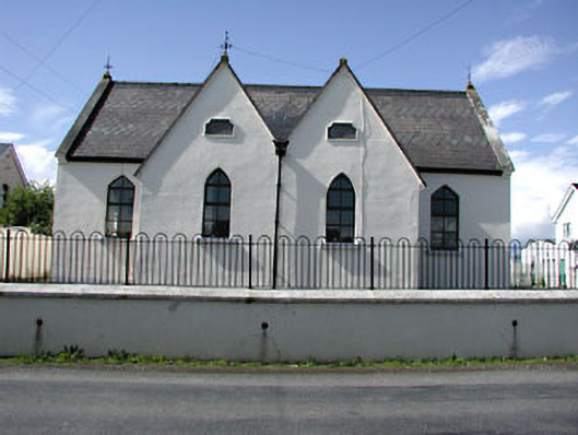 Drumbaragh National Schoolschool · 1.3 mi
 MaperathMountain / peak · 1.6 mi
 CastleCastle, unclassified · 2.0 mi