What is recorded here
Located at the crest of an E-facing slope of the NW-SE River Slaney valley with the river c. 370m to the NE. The cropmark of a circular enclosure (int. diam. c. 20m) defined by a well-defined fosse feature is visible on aerial photograph (CUCAP, ASW 73). Nothing is visible at ground level in pasture.
The above description is derived from the published 'Archaeological Inventory of County Wexford' (Dublin: Stationery Office, 1996). In certain instances the entries have been revised and updated in the light of recent research.
Compiled by: Michael Moore
Date of upload/revision: 31 May, 2012
The monument record does not grant public access. Check the route and ask the landowner before entering private land.
- What survives
- Recorded monument
Places near here
 KilnKiln, lime · 299 yd
 Fulacht fia in BallynahallinFulacht fia · 313 yd
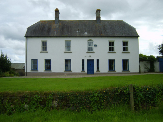 Ballynahallin Housefarm house · 334 yd
 Fulacht fia in KilcannonFulacht fia · 572 yd
 U.N. Peace MemorialMonument · 2.4 mi
 Duffry GateMemorial · 2.4 mi
 Battle of Vinegar HillMajor battlefield · 2.5 mi
 National 1798 CentreMuseum · 2.8 mi
 Daphney CastleCastle, unclassified · 3.4 mi
 CastleCastle, ringwork · 4.5 mi
 Pedunculate OakPedunculate Oak · 4.9 mi
 European LarchEuropean Larch · 6.2 mi