What is recorded here
Annotated 'Relickan Well' on the 1837 ed. OSi 6-inch map where it is shown standing immediately to the E of a burial ground (DU021-001001-), in the parish of Kilmactalway. This is a natural spring enclosed by a hedge standing adjacent to the townland boundary with Brownstown. No longer venerated (Ó Danachair 1958, 83).
From the National Monuments Service (Archaeological Survey of Ireland) record DU021-001002
The monument record does not grant public access. Check the route and ask the landowner before entering private land.
- What survives
- Recorded monument
Places near here
Burial GroundEcclesiastical enclosure · 40 yd Grand Canal WayWalking route · 103 ydEarthwork in Brownstown (newcastle By.)Earthwork · 290 ydwater pump402 ydCastle (site of)Castle, unclassified · 498 ydReniskey HouseHouse · 1087 ydSt Finian's Catholic ChurchChurch/chapel · 1200 ydSt Luke's C. of I. ChurchChurch/chapel · 1209 ydEuropean Yew1.3 miCastleCastle, tower house · 1.5 miOriental plane2.2 miGriffeen Valley WalkWalking route · 3.0 mi
 Grand Canal WayWalking route · 103 ydEarthwork in Brownstown (newcastle By.)Earthwork · 290 yd
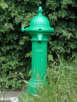 water pump402 ydCastle (site of)Castle, unclassified · 498 yd
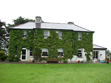 Reniskey HouseHouse · 1087 yd
 St Finian's Catholic ChurchChurch/chapel · 1200 yd
 St Luke's C. of I. ChurchChurch/chapel · 1209 yd
 European Yew1.3 mi
 CastleCastle, tower house · 1.5 mi
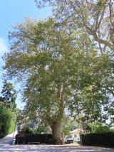 Oriental plane2.2 mi
 Griffeen Valley WalkWalking route · 3.0 mi
Pictures: JP, Geograph · CC BY-SA 2.0; National Inventory of Architectural Heritage; Sarah777 at en.wikipedia, Wikimedia Commons · Public domain; Sitomon, Wikimedia Commons · CC BY-SA 2.0; Mike Searle, Geograph · CC BY-SA 2.0; Superchilum, Wikimedia Commons · CC BY-SA 4.0; jwd, Geograph · CC BY-SA 2.0
More archaeology and monuments in County Dublin · All of County Dublin
What do you know about this place?