What is recorded here
The W quadrant of an ecclesiastrical enclosure survives inside the graveyard wall. Comprises a flat-topped earthen bank (dims. Wth c. 2m, H 0.90m-1m). It is associated with a holy well (dims. Wth c. 2m, H 0.90m-1m). The exterior is slightly raised. Still in use as a burial ground (D'Alton 1838, 673, Swan 1986, 7).
From the National Monuments Service (Archaeological Survey of Ireland) record DU021-001001
The monument record does not grant public access. Check the route and ask the landowner before entering private land.
- What survives
- Recorded monument
Places near here
Photo credits
- JP, Geograph · CC BY-SA 2.0
- National Inventory of Architectural Heritage
- Sarah777 at en.wikipedia, Wikimedia Commons · Public domain
- Sitomon, Wikimedia Commons · CC BY-SA 2.0
- Mike Searle, Geograph · CC BY-SA 2.0
- Superchilum, Wikimedia Commons · CC BY-SA 4.0
- jwd, Geograph · CC BY-SA 2.0
Relickan WellHoly well · 40 yd Grand Canal WayWalking route · 108 ydEarthwork in Loughtown LowerEarthwork · 302 ydwater pump435 ydCastle (site of)Castle, unclassified · 516 ydReniskey HouseHouse · 1122 ydSt Finian's Catholic ChurchChurch/chapel · 1240 ydSt Luke's C. of I. ChurchChurch/chapel · 1249 ydEuropean Yew1.3 miCastleCastle, tower house · 1.5 miOriental plane2.1 miGriffeen Valley WalkWalking route · 3.0 mi
 Grand Canal WayWalking route · 108 ydEarthwork in Loughtown LowerEarthwork · 302 yd
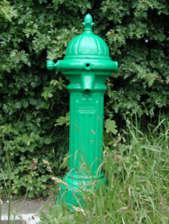 water pump435 ydCastle (site of)Castle, unclassified · 516 yd
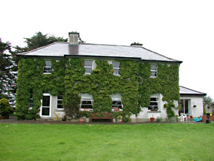 Reniskey HouseHouse · 1122 yd
 St Finian's Catholic ChurchChurch/chapel · 1240 yd
 St Luke's C. of I. ChurchChurch/chapel · 1249 yd
 European Yew1.3 mi
 CastleCastle, tower house · 1.5 mi
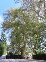 Oriental plane2.1 mi
 Griffeen Valley WalkWalking route · 3.0 mi
More archaeology and monuments in County Dublin · All of County Dublin
What do you know about this place?