What is recorded here
Cropmark of small circular-shaped ring-ditch (approx. diam. 12m) visible on Google earth aerial imagery.
See attached image taken from Google Earth aerial photographs taken 28/06/2018
Compiled by: Caimin O'Brien based on details provided by Jean-Charles Caillère
Date of upload: 28 May 2019
The monument record does not grant public access. Check the route and ask the landowner before entering private land.
- What survives
- Recorded monument
Places near here
 Hilltop enclosure in TipperkevinHilltop enclosure · 586 yd
 Church in RuinsChurch · 699 yd
 ToberkevinHoly well · 848 yd
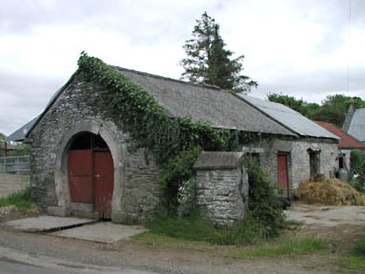 forge/smithyforge/smithy · 1106 yd
 The MoatCastle, motte and bailey · 1717 yd
 Blackhall Castle (in Ruins)Castle, tower house · 1.2 mi
 Sillagh Bog WoodForest · 1.4 mi
 Deer Park PlantationForest · 2.5 mi
 Councillor Jim MileyMemorial · 3.1 mi
 Proclamation of the Irish RepublicMemorial · 3.1 mi
 Poplar SquarePicnic place · 4.0 mi
 Lacken – Mass Path LoopWalking route · 5.6 mi