
What is recorded here
In pasture, atop high ground with good views in all directions. Curving cropmark (diam. c. 110m) of ditch visible from S-W-N visible on Google Earth orthoimages may represent the remains of a hilltop enclosure. The field boundary at E running N-S represents the townland boundary of Glebe West.
See attached images provided courtesy of Seán Sourke
Compiled by: Caimin O'Brien based on details provided by Seán Sourke
Date of upload: 6 December 2021
A local fairy fort (ringfort/rath); wider significance not recorded.
The monument record does not grant public access. Check the route and ask the landowner before entering private land.
- What survives
- Recorded monument
Places near here
 Church in RuinsChurch · 379 yd
 ToberkevinHoly well · 391 yd
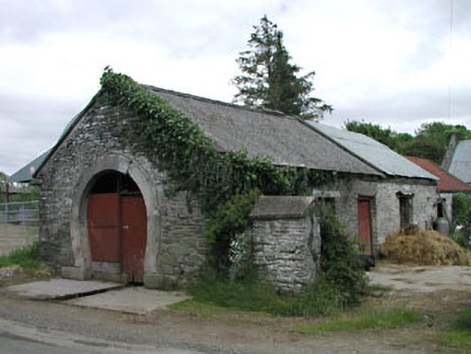 forge/smithyforge/smithy · 597 yd
 IndicatedCastle, tower house · 1.1 mi
 The MoatCastle, motte and bailey · 1.1 mi
 Sillagh Bog WoodForest · 1.7 mi
 Deer Park PlantationForest · 2.3 mi
 National Bird of Prey CentreHeritage attraction · 2.4 mi
 Artisans WorkshopsHeritage attraction · 2.4 mi
 Councillor Jim MileyMemorial · 2.8 mi
 Proclamation of the Irish RepublicMemorial · 2.8 mi
Other information
Photo: Credit not shown in the picture search · Rights wording not checked; contact us if this picture should be removed