What is recorded here
Rathclogh is an archaeological place in County Tipperary, Ireland. It holds a low circular earthwork, barely thirty centimetres high, that surveyors first mapped as a neat twenty-metre enclosure in 1840. Later maps read the same slight mound as an oval twenty-five metres north to south and twenty metres east to west. The source says that shift likely reflected changes in ground vegetation and visibility rather than a structural alteration.
Rathclogh is recorded as a archaeological place in County Tipperary. Its open map record supplies this location and any linked names or public references.
Places near here
 RathcloghFairy fort / earthen ringfort · 1 yd
 Castle in RuinsCastle, motte and bailey · 159 yd
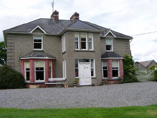 Rathmorehouse · 670 yd
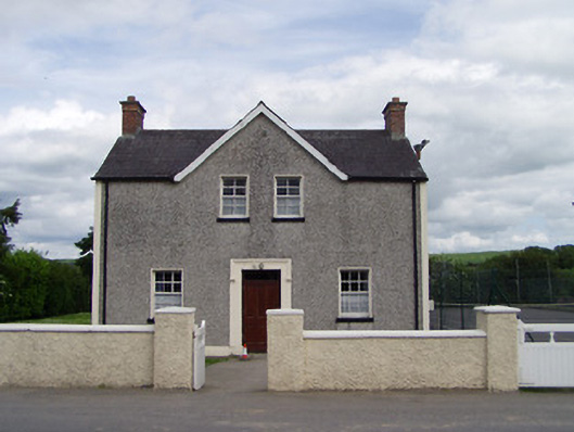 Dually Community Hallschool master's house · 844 yd
 The GarrisonCastle, tower house · 1171 yd
 RaheenFairy fort / earthen ringfort · 1548 yd
 Ballinure HillMountain / peak · 1.3 mi
 Taylor's WoodWood · 1.5 mi
 Ballyknock HillMountain / peak · 2.8 mi
 The Rock Of CashelVisitor information · 3.9 mi
 Cashel Folk MusuemMuseum · 3.9 mi
 Cormac's ChapelHeritage attraction · 3.9 mi