
What is recorded here
Garraun Castle stands as a motte and bailey atop a rocky ridge in Tipperary, where Walter Sall held the land in 1640 before ruin claimed its stones. The Mac Carthys may have built it, according to local tradition, leaving behind a grassy mound and faint bank walls that still frame the upland views. Two ringforts sit nearby, suggesting this was a busy place of residence and defense long before the castle fell into shadow.
In grassland atop N end ridge of rock outcrop running N-S in upland region with good views in all directions. Ringfort (TS053-077----) 150m to E and larger ringfort (TS053-076----) 150m to S. Monument consists of a small flat-topped mound (top diam. 5m N-S; 4m E-W ; base diam. 15m N-S; 17m E-W; H 3m) with rectangular bailey area (int. dims. 44m N-S; 20m E-W) to N, E and S defined by a well-preserved earth and stone bank (top Wth 1m; base Wth 1.5m; ext. H 0.5m; int. H 0.6m) along N and E sides, possible faint remains of a bank 40m from base of mound to S of motte may be remains of the bank of the bailey. Bailey defined by scarp of rock outcrop along W side of monument. Possible evidence of quarry holes in E quadrant of bailey may be the remains of two sunken rectangular house site (int. dims. 6m N-S x 7.5m E-W; 5m N-S x 11m E-W) inside the bailey, however, the presence of natural rock outcrop may suggest that these depressions are the remains of quarrying. On top of the motte are the presence of several small stones protruding from the top of the motte. Described in the Civil Survey (1654-6) as 'a small old Castle & five or six cottages' (Simington 1931, vol. 1, 217) and the propietor in 1640 is listed as Walter Sall of Garrance Irish Papist (ibid.). According to the OS letters the castle was reputedly built by the Mac Carthys and in 1840 consisted of 10 feet [3m] of the length of the N wall and 10 feet [3m] of the east wall which survived 30 feet high [9m] and measured seven feet [2.1m] in thickness (O'Flanagan 1930, vol. 1, 108). This may have been a description of the enclosing wall of the bailey of which only the wall footings to the N and E survive. The external face of the wall-footings of the bank along the E side has good evidence of external stone facing. Overall the bailey area may have measured 65m N-S by 44m E-W with the motte in the NW quadrant of the bailey. The motte is located in 6m from the edge of the scarf on the W side and in 9m from the bank of the bailey on the N side, 20m away from the bailey on the E side and possible 40m away on the S side.
Compiled by: Jean Farrelly
Date of upload: 26 August 2011
The monument record does not grant public access. Check the route and ask the landowner before entering private land.
- What survives
- Recorded monument
Places near here
 RathcloghFairy fort / earthen ringfort · 159 yd
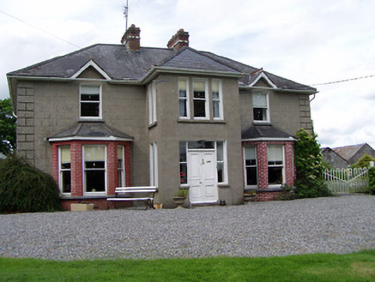 Rathmorehouse · 825 yd
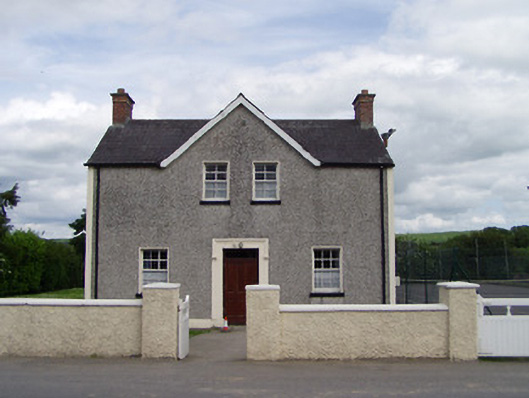 Dually Community Hallschool master's house · 933 yd
 The GarrisonCastle, tower house · 1323 yd
 RaheenFairy fort / earthen ringfort · 1420 yd
 Ballinure HillMountain / peak · 1.3 mi
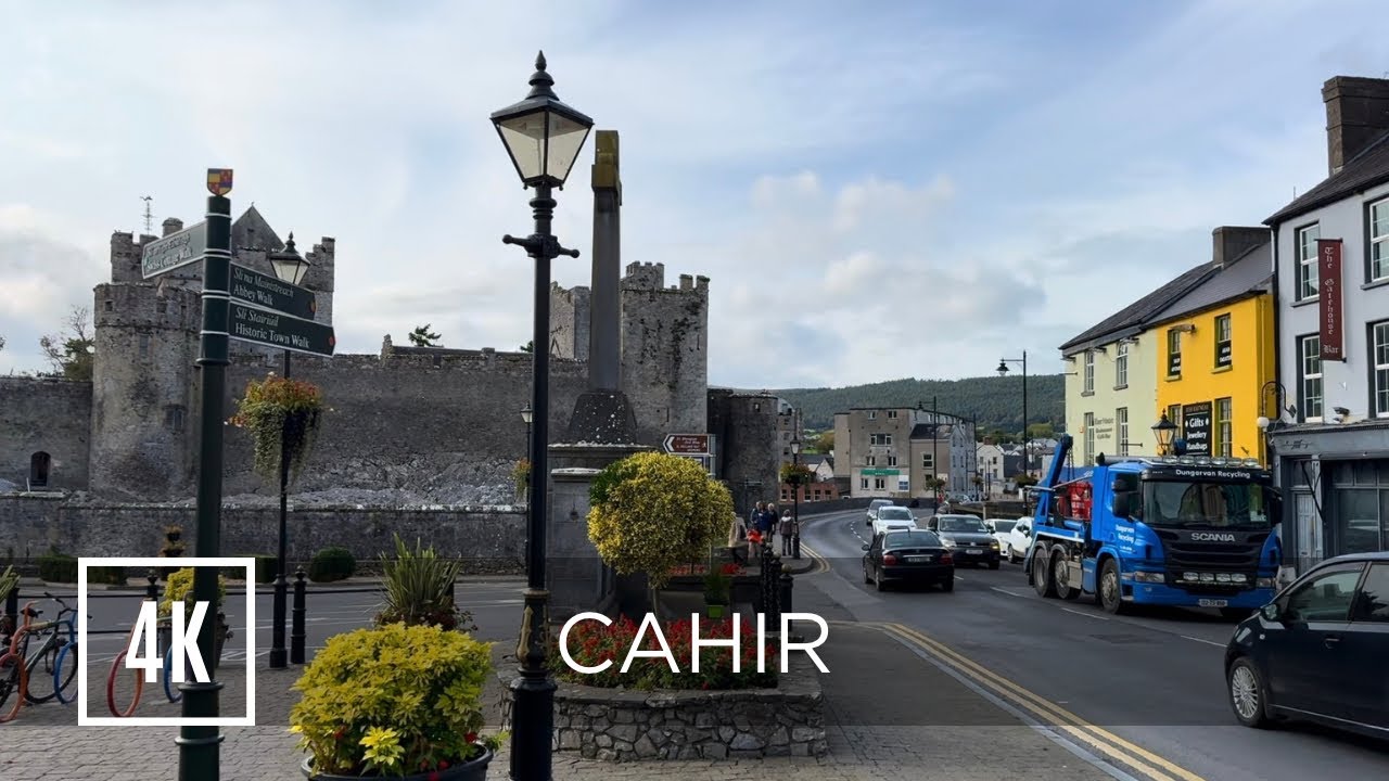 Bawn in ErryBawn · 1.3 mi
 Taylor's WoodWood · 1.4 mi
 Ballyknock HillMountain / peak · 2.8 mi
 The Rock Of CashelVisitor information · 4.0 mi
 Cashel Folk MusuemMuseum · 4.0 mi
 Cormac's ChapelHeritage attraction · 4.0 mi
Other information
Photo: Credit not shown in the picture search · Rights wording not checked; contact us if this picture should be removed